Catalog Archive
Auction 100, Lot 129
"Map of the Western Part of the Dominion of Canada Shewing Various Routes to the Yukon Dist.", Matthews-Northrup Co
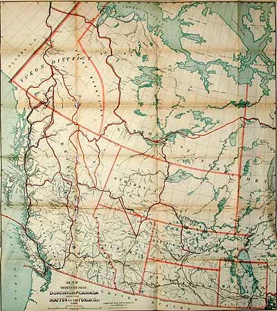
Subject: Canada and Alaska
Period: 1898 (dated)
Publication:
Color: Printed Color
Size:
31 x 34 inches
78.7 x 86.4 cm
Download High Resolution Image
(or just click on image to launch the Zoom viewer)
(or just click on image to launch the Zoom viewer)