Showing Featured Lots(remove filter)
Filtered by Category:North America(Show All Categories)
Showing results for:Auction 160
Catalog Archive
9 lots
Auction 160, Lot 88
Subject: Colonial North America
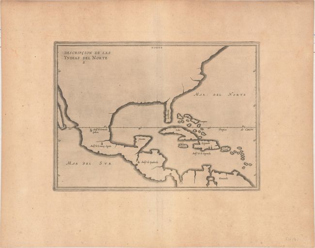
Herrera y Tordesillas, Antonio de
[Lot of 2] Descripcion de las Yndias del Norte 2 [and] Description del Destricto del Audiencia dela Espanola 3, 1622
Size: 11.6 x 8.4 inches (29.5 x 21.3 cm)
Estimate: $1,600 - $2,000
Uncommon Pair of Herrera Maps of the New World
Sold for: $1,200
Closed on 11/16/2016
Auction 160, Lot 89
Subject: Colonial North America
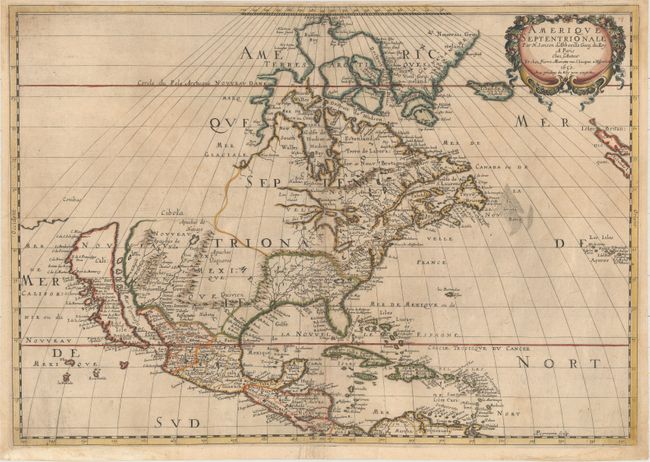
Sanson/Mariette
Amerique Septentrionale par N. Sanson d'Abbeville…, 1650
Size: 21.9 x 15.4 inches (55.6 x 39.1 cm)
Estimate: $2,400 - $3,250
Important Map for Great Lakes Collectors
Sold for: $2,100
Closed on 11/16/2016
Auction 160, Lot 90
Subject: Colonial North America
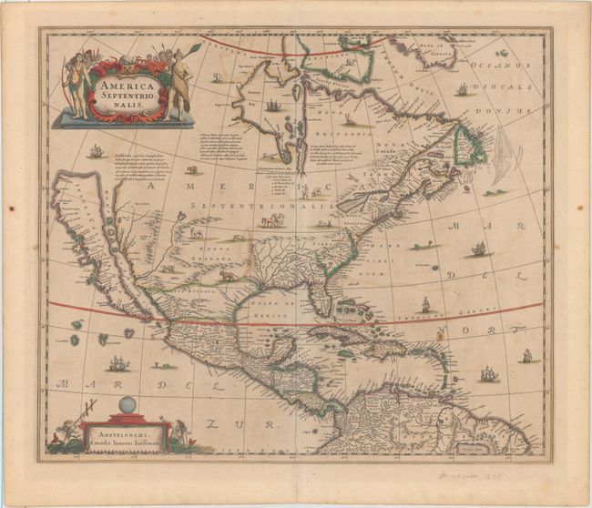
Hondius/Jansson
America Septentrionalis, 1666
Size: 21.6 x 18.3 inches (54.9 x 46.5 cm)
Estimate: $2,750 - $3,500
One of the Most Important Maps Perpetuating the Myth of the Island of California in Full Original Color
Sold for: $2,400
Closed on 11/16/2016
Auction 160, Lot 92
Subject: Colonial North America
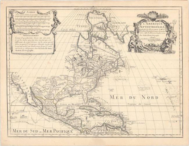
Delisle, Guillaume
L'Amerique Septentrionale. Dressee sur les Observations de Mrs. de l'Academie Royale des Sciences. & Quelques Autres, & sur les Memoires les Plus Recens, 1700
Size: 24 x 17.9 inches (61 x 45.5 cm)
Estimate: $1,800 - $2,100
Delisle's Foundation Map of North America
Sold for: $1,000
Closed on 11/16/2016
Auction 160, Lot 114
Subject: North America
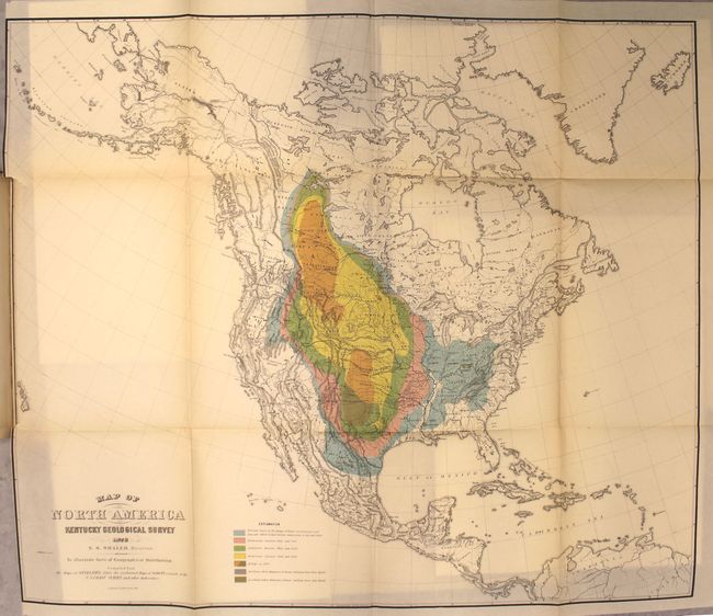
The American Bisons, Living and Extinct [bound in] Memoirs of the Geological Survey of Kentucky, 1876
Size: 8.8 x 11.6 inches (22.4 x 29.5 cm)
Estimate: $1,400 - $1,700
An Important, Early Report on the American Bison
Unsold
Closed on 11/16/2016
Auction 160, Lot 117
Subject: Colonial Eastern North America & West Indies
Keulen, Johannes van
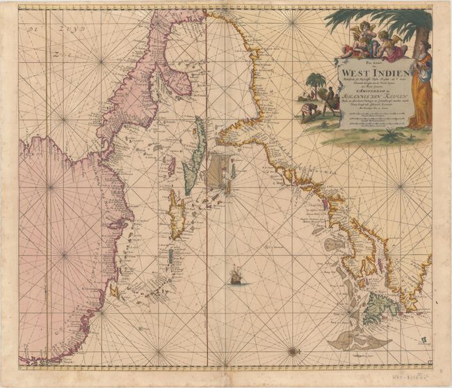
Pas Kaart van West Indien Behelsende soo Deszelffs Vaste Kusten als d'Onder Behoorende Eylanden aan de Noord Oceaan..., 1687
Size: 22.4 x 19.9 inches (56.9 x 50.5 cm)
Estimate: $4,500 - $5,500
Decorative Chart of the Western Atlantic Coast with Full Original Color
Sold for: $2,875
Closed on 11/16/2016
Auction 160, Lot 119
Subject: Colonial Eastern North America & West Indies
Popple/Covens & Mortier
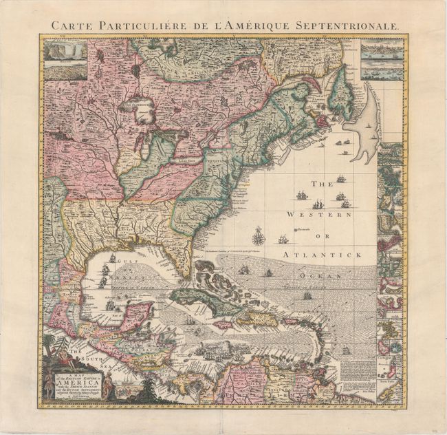
A Map of the British Empire in America with the French, Spanish and the Dutch Settlements Adjacent Thereto, 1741
Size: 18.9 x 19.3 inches (48 x 49 cm)
Estimate: $2,750 - $3,500
Index Sheet of Popple's Map
Sold for: $2,300
Closed on 11/16/2016
Auction 160, Lot 121
Subject: Colonial Eastern North America & Caribbean
Delisle/Dezauche
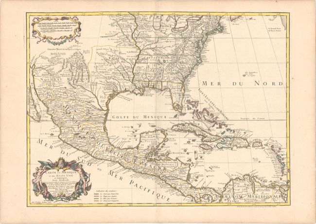
Carte du Mexique et des Etats Unis d'Amerique, Partie Meridionale..., 1783
Size: 25.9 x 19.1 inches (65.8 x 48.5 cm)
Estimate: $1,400 - $1,700
One of the Earliest Maps to Name the United States
Sold for: $750
Closed on 11/16/2016
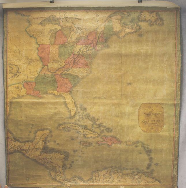
Auction 160, Lot 122
Subject: Eastern North America & West Indies
Lewis, Samuel
A Correct Map of the United States. With the West Indies from the Best Authorities, 1813
Size: 37.4 x 39.2 inches (95 x 99.6 cm)
Estimate: $8,000 - $10,000
Extremely Rare Wall Map by Samuel Lewis
Sold for: $5,000
Closed on 11/16/2016
9 lots


