Filtered by Category:Books, Atlases, Travel Guides, Geography & Reference Books(Show All Categories)
Showing results for:Auction 92
Catalog Archive
40 lots
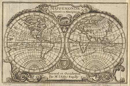
Auction 92, Lot 458
Subject: Atlas
Expilly, Jean Joseph Georges, Abbe d'
Le Geographe Manuel, 1771
Size: 3 x 5 inches (7.6 x 12.7 cm)
Estimate: $700 - $900
Sold for: $800
Closed on 9/13/2000
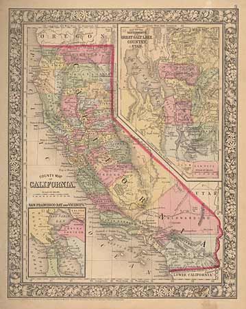
Auction 92, Lot 459
Subject: Atlas
Mitchell, Samuel Augustus
Mitchell's New General Atlas, containing Maps of the Various Counties of the World, Plans of Cities, Etc…, 1866
Size: 13.5 x 15 inches (34.3 x 38.1 cm)
Estimate: $300 - $400
Sold for: $550
Closed on 9/13/2000
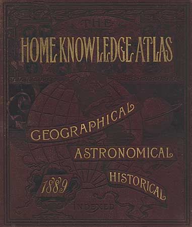
Auction 92, Lot 460
Subject: Atlas
Cram, George F. & Company
The Home Knowledge Atlas - Geographical, Astronomical, Historical…, 1889
Size: 12 x 13.5 inches (30.5 x 34.3 cm)
Estimate: $180 - $250
Sold for: $600
Closed on 9/13/2000
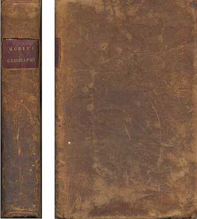
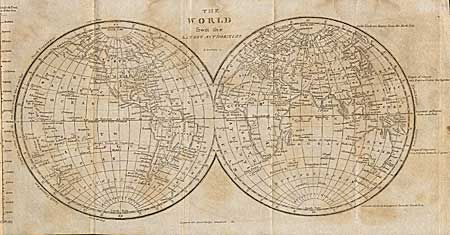
Auction 92, Lot 461
Subject: Geography
Morse, Jedidiah (Rev.)
A New System of Geography, Ancient and Modern for the Use of Schools…, 1822
Size: 4.5 x 7 inches (11.4 x 17.8 cm)
Estimate: $50 - $60
Sold for: $0
Closed on 9/13/2000
Auction 92, Lot 462
Subject: Geography
Blair, Rev. David
Universal Preceptor: being a General Grammar of Arts, Sciences, and Useful Knowledge, 1831
Size: 3.9 x 6 inches (9.9 x 15.2 cm)
Estimate: $100 - $120
Sold for: $160
Closed on 9/13/2000
Auction 92, Lot 463
Subject: Geography
Harper's School Geography [together with] An Elementary Treatise on Physical Geography, 1873-87
Size: 10 x 12.5 inches (25.4 x 31.8 cm)
Estimate: $50 - $80
Sold for: $120
Closed on 9/13/2000
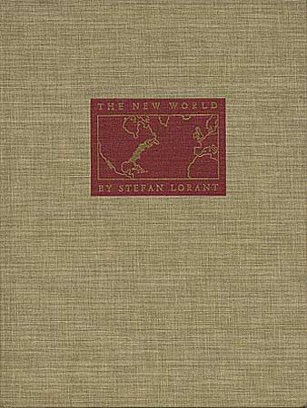
Auction 92, Lot 464
Subject: America History
Lorant, Stefan
The New World: The First Pictures of America, 1946
Size: 9.2 x 12.1 inches (23.4 x 30.7 cm)
Estimate: $40 - $50
Sold for: $0
Closed on 9/13/2000
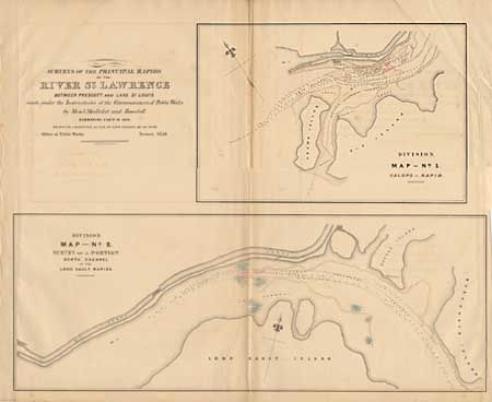
Auction 92, Lot 465
Subject: Canada
Maps, Reports, Estimates, &c. Relative to Imrovement of the Navigation of the River St. Lawrence, and a Proposed Canal connecting the River St. Lawrence and Lake Champlain, 1856
Size: 13.5 x 20 inches (34.3 x 50.8 cm)
Estimate: $600 - $700
Sold for: $450
Closed on 9/13/2000
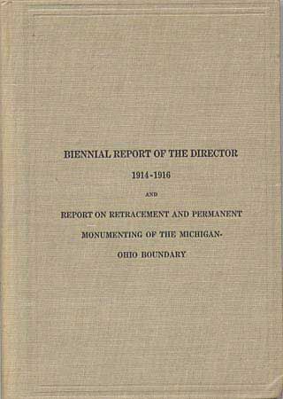
Auction 92, Lot 466
Subject: United States History
Biennal report of the Director 1914-1916 and report retracement and permanent monumenting of the Michigan-Ohio Boundary, 1916
Size: 6.5 x 9.2 inches (16.5 x 23.4 cm)
Estimate: $50 - $60
Sold for: $40
Closed on 9/13/2000
Auction 92, Lot 467
Subject: United States History
Wilkes, Charles
Narrative of the United States Exploring Expedition, 1845
Size: 6.5 x 9.7 inches (16.5 x 24.6 cm)
Estimate: $150 - $200
Sold for: $190
Closed on 9/13/2000
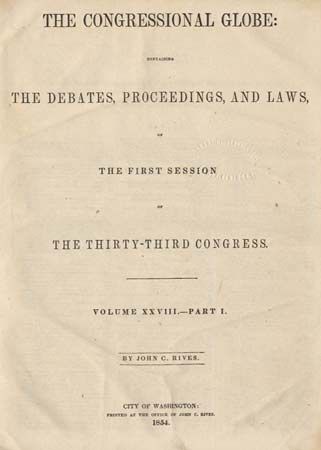
Auction 92, Lot 468
Subject: United States History
Rives, John C.
The Congressional Globe containing The Debates, Proceedings, and Laws of The First Session of The Thirty-Third Congress, Vol. XXVIII, Part I and II [together with] Appendix to The Congressional Globe… Vol. XXXI, 1854
Size: 9 x 11.6 inches (22.9 x 29.5 cm)
Estimate: $240 - $300
Sold for: $110
Closed on 9/13/2000
Auction 92, Lot 469
Subject: Travel - United States and Canada
Hall
Travels in canada, and the United States in 1816 and 1817, 1819
Size: 5.2 x 8.5 inches (13.2 x 21.6 cm)
Estimate: $200 - $250
Sold for: $190
Closed on 9/13/2000
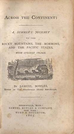
Auction 92, Lot 470
Subject: Travel - Western United States
Bowles, Samuel
Across the Continent: A Summer's Journey to the Rocky Mountains, The Mormons, and the Pacific States with Speaker Colfax, 1865
Size: 5 x 7.7 inches (12.7 x 19.6 cm)
Estimate: $70 - $90
Sold for: $160
Closed on 9/13/2000

Auction 92, Lot 471
Subject: Travel Journal - Great Lakes
Swan, Lansing B.
Journal of a Trip to Michigan in 1841, 1904
Size: 3 x 5 inches (7.6 x 12.7 cm)
Estimate: $60 - $75
Sold for: $75
Closed on 9/13/2000
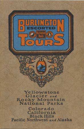
Auction 92, Lot 472
Subject: Travel - Western United States
Burlington Escorted Tours, Vacations Without a Care, 1929
Size: 6 x 9 inches (15.2 x 22.9 cm)
Estimate: $30 - $50
Sold for: $30
Closed on 9/13/2000
Auction 92, Lot 473
Subject: United States
Bryant, William C.
[2 Volumes] Picturesque America; or, the Land we Live in…, 1872
Size: 10 x 13 inches (25.4 x 33 cm)
Estimate: $300 - $400
Sold for: $325
Closed on 9/13/2000
Auction 92, Lot 474
Subject: California
Cheney, Warren
Yosemite Illustrated in Colors, 1890
Size: 11 x 13.5 inches (27.9 x 34.3 cm)
Estimate: $350 - $400
Sold for: $250
Closed on 9/13/2000
Auction 92, Lot 475
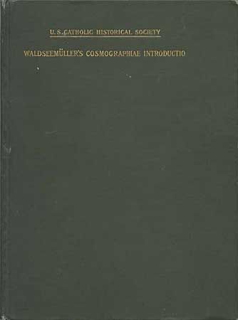
Subject: Cartographic Reference
The Cosmographiae Introductio of Martin Waldseemuller in Facsimile, Followed By the Four Voyages of Amerigo Vespuci, with Their Translation Into English; to Which are Added Waldseemuller's Two World Maps of 1507 with an Introduction By..., 1907
Size: 7 x 9 inches (17.8 x 22.9 cm)
Estimate: $100 - $130
Sold for: $210
Closed on 9/13/2000
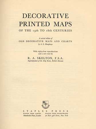
Auction 92, Lot 476
Subject: Cartographic Reference
Skelton, R. A.
Decorative Printed Maps of the 15th to 18th Centuries, 1952
Size: 9.6 x 12.4 inches (24.4 x 31.5 cm)
Estimate: $50 - $75
Sold for: $85
Closed on 9/13/2000
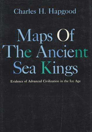
Auction 92, Lot 478
Subject: Cartographic Reference
Hapgood, Charles H.
Maps of The Ancient Sea Kings, Evidence of Advanced Civilization in the Ice Age, 1966
Size: 7.5 x 10.5 inches (19.1 x 26.7 cm)
Estimate: $50 - $60
Sold for: $55
Closed on 9/13/2000
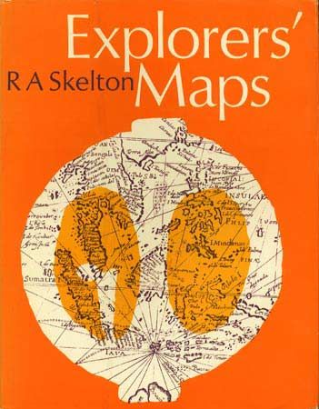
Auction 92, Lot 479
Subject: Cartographic Reference
Skelton, R. A.
Explorers' Maps, 1970
Size: 9 x 11.2 inches (22.9 x 28.4 cm)
Estimate: $50 - $60
Sold for: $80
Closed on 9/13/2000
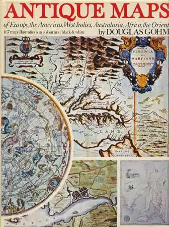
Auction 92, Lot 480
Subject: Cartographic Reference
Gohm, Douglas
Antique Maps of Europe, the Americas, West Indies, Australasia, Africa, the Orient, 1972
Size: 9.5 x 12.5 inches (24.1 x 31.8 cm)
Estimate: $20 - $30
Sold for: $100
Closed on 9/13/2000
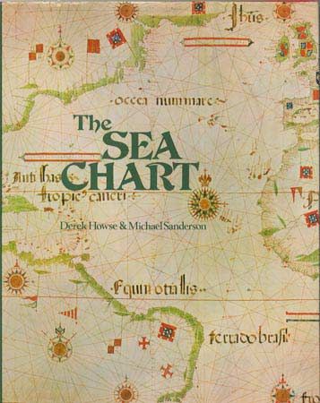
Auction 92, Lot 481
Subject: Cartographic Reference
Howse and Sanderson
The Sea Chart, 1973
Size: 9 x 11 inches (22.9 x 27.9 cm)
Estimate: $40 - $50
Sold for: $80
Closed on 9/13/2000
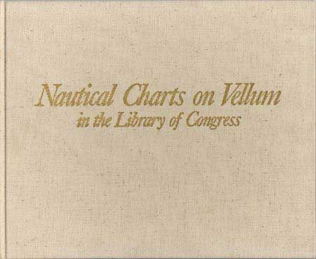
Auction 92, Lot 482
Subject: Cartographic Reference
Skelton, R. A.
Nautical Charts on Vellum in the Library of Congress, 1977
Size: 11.5 x 9.5 inches (29.2 x 24.1 cm)
Estimate: $40 - $50
Sold for: $0
Closed on 9/13/2000
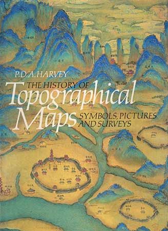
Auction 92, Lot 483
Subject: Cartographic Reference
Harvey, P. D. A.
The History of Topographical Maps - Symbols, Pictures and Surveys, 1980
Size: 7.5 x 10 inches (19.1 x 25.4 cm)
Estimate: $40 - $50
Sold for: $0
Closed on 9/13/2000
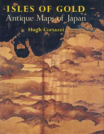
Auction 92, Lot 484
Subject: Cartographic Reference
Cortazzi, Hugh
Isles of Gold - Antique Maps of Japan, 1983
Size: 9 x 12 inches (22.9 x 30.5 cm)
Estimate: $150 - $200
Sold for: $130
Closed on 9/13/2000
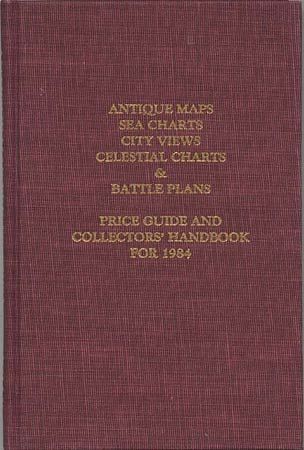
Auction 92, Lot 485
Subject: Cartographic Reference
Jolly, David C.
Antique Maps, Sea Charts, City Views, Celestial Charts & Battle Plans - Price Record & Handbook for 1984, 1984
Size: 9 x 6.5 inches (22.9 x 16.5 cm)
Estimate: $50 - $60
Sold for: $85
Closed on 9/13/2000
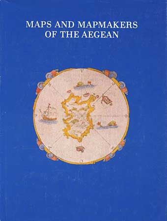
Auction 92, Lot 486
Subject: Cartographic Reference
Sphyroeras, Vasilis
Maps and Mapmakers of the Aegean, 1985
Size: 8.5 x 11.3 inches (21.6 x 28.7 cm)
Estimate: $45 - $65
Sold for: $55
Closed on 9/13/2000
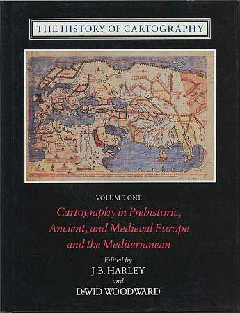
Auction 92, Lot 487
Subject: Cartographic Reference
Woodward, David
The History of Cartography - Volume One: Cartography in Prehistoric, Ancient and Medieval Europe and the Mediterranean, 1987
Size: 9 x 11.7 inches (22.9 x 29.7 cm)
Estimate: $120 - $150
Sold for: $160
Closed on 9/13/2000
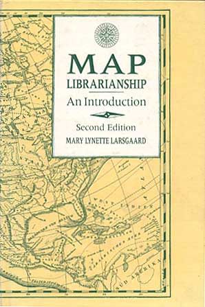
Auction 92, Lot 488
Subject: Cartographic Reference
Larsgaard, Mary Lynette
Map Librarianship, An Introduction, 1987
Size: 6.6 x 9.5 inches (16.8 x 24.1 cm)
Estimate: $25 - $35
Sold for: $55
Closed on 9/13/2000
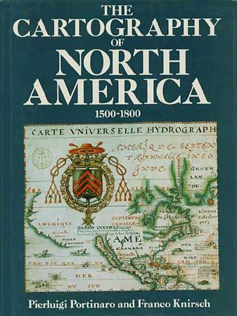
Auction 92, Lot 489
Subject: Cartographic Reference
Portinaro & Knirsch
The Cartography of North America 1500-1800, 1987
Size: 9.7 x 13 inches (24.6 x 33 cm)
Estimate: $65 - $75
Sold for: $160
Closed on 9/13/2000
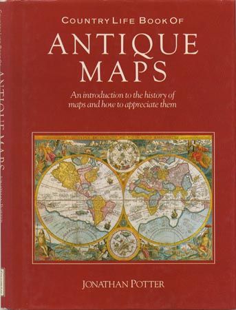
Auction 92, Lot 490
Subject: Cartographic Reference
Potter, Jonathan
Country Life Book of Antique Maps: An Introduction to the History of Maps and How to Appreciate Them, 1988
Size: 8.7 x 11.7 inches (22.1 x 29.7 cm)
Estimate: $25 - $35
Sold for: $0
Closed on 9/13/2000
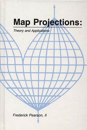
Auction 92, Lot 491
Subject: Cartographic Reference
Pearson, Frederick
Map Projections: Theory and Applications, 1990
Size: 6.2 x 9.2 inches (15.7 x 23.4 cm)
Estimate: $80 - $100
Sold for: $60
Closed on 9/13/2000
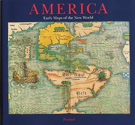
Auction 92, Lot 492
Subject: Cartographic Reference
America - Early Maps of the New World, 1992
Size: 11.7 x 11 inches (29.7 x 27.9 cm)
Estimate: $40 - $50
Sold for: $120
Closed on 9/13/2000
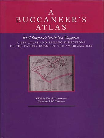
Auction 92, Lot 493
Subject: Cartographic Reference
Howse, Derek
A Buccaneer's Atlas: Basil Ringrose's South Sea Waggoner, 1992
Size: 9.3 x 12.2 inches (23.6 x 31 cm)
Estimate: $60 - $80
Sold for: $70
Closed on 9/13/2000
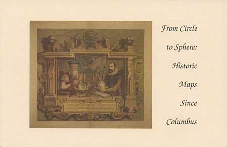
Auction 92, Lot 494
Subject: Cartographic Reference
Delaney, John
From Circle to Sphere: Historic maps since Columbus, 1992
Size: 8.5 x 5.5 inches (21.6 x 14 cm)
Estimate: $30 - $40
Sold for: $25
Closed on 9/13/2000
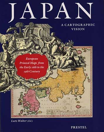
Auction 92, Lot 495
Subject: Cartographic Reference
Walter, Lutz
Japan, a Cartographic Vision European Printed Maps from the Early 16th to the 19th Century, 1994
Size: 9.8 x 12.5 inches (24.9 x 31.8 cm)
Estimate: $75 - $100
Sold for: $130
Closed on 9/13/2000
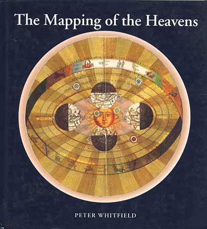
Auction 92, Lot 496
Subject: Cartographic Reference
Whitfield, Peter
The Mapping of the Heavens, 1995
Size: 10.5 x 11 inches (26.7 x 27.9 cm)
Estimate: $30 - $40
Sold for: $15
Closed on 9/13/2000
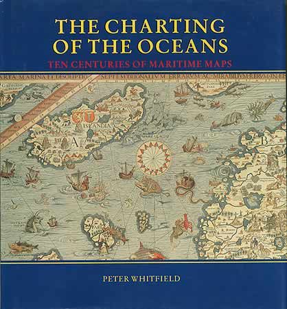
Auction 92, Lot 497
Subject: Cartographic Reference
Whitfield, Peter
The Chartings of the Oceans Ten Centuries of Maritime Maps [together with] On the Origin of Portolan Charts, 1996
Size: 10.7 x 11.5 inches (27.2 x 29.2 cm)
Estimate: $40 - $50
Sold for: $75
Closed on 9/13/2000
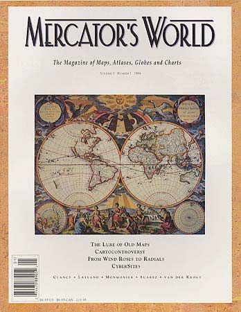
Auction 92, Lot 498
Subject: Cartographic Reference
[Lot of 12] Mercator's World - The Magazine of Maps, Atlases, Globes & Charts, 1996-97
Size: 8.5 x 10.9 inches (21.6 x 27.7 cm)
Estimate: $250 - $300
Sold for: $475
Closed on 9/13/2000
40 lots