Catalog Archive
Auction 99, Lot 341
"A New Map of England and Wales by Thos. Jefferys Geographer to his Royal Highness the Price of Wales", Jefferys, Thomas
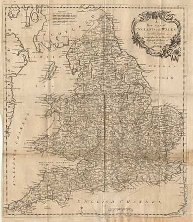
Subject: England & Wales
Period: 1772 (dated)
Publication:
Color: Black & White
Size:
14.5 x 17 inches
36.8 x 43.2 cm
Download High Resolution Image
(or just click on image to launch the Zoom viewer)
(or just click on image to launch the Zoom viewer)