Catalog Archive
Auction 97, Lot 124

"North America Index Map to Canada and the United States", SDUK Society for the Diffusion of Useful Knowledge

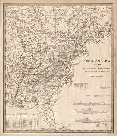
Subject: Eastern United States and Canada

Period: 1834 (dated)

Publication:

Color: Hand Color

Size:
12.5 x 14.5 inches
31.8 x 36.8 cm
Download High Resolution Image
(or just click on image to launch the Zoom viewer)

An interesting map of the Eastern United States and Canada. An inset shows the Census of 1830 in the 28 states describing the Free and Slave populations and the population per square mile. Another inset shows the total population and population per square mile in the British provinces of Canada. Elevation profiles of the Welland and Rideau locks in Canada, and the Erie, Pennsylvania and Chesapeake & Ohio canals. Published by Baldwin & Cradock.

References:

Condition: B

Embossed library stamp in lower right border and a couple of small spots.

Estimate: $100 - $140

Sold for: $90

Closed on 12/5/2001

Archived