Subject: Cartographic Reference
Period: 1983-92 (published)
Publication:
Color:
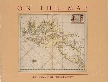
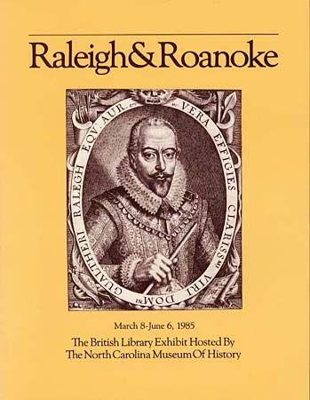
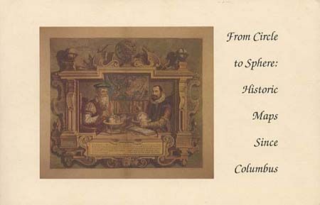
Three map exhibition catalogs. First (On The Map: Maryland and the Chesapeake Bay) is the fascinating history of putting Maryland on maps, chronicled from an exhibit at Washington College, Chestertown, Maryland. Each map is extensively cataloged providing an important source of information. 102 pp, 67 illustrations in B&W. Oblong 8vo, soft bound, 1983. Second (Raleigh & Roanoke - The First English Colony in America, 1584-1590) is a catalogue of the British Library exhibit hosted by the North Carolina Museum of History consisting of 157 items, 72 of which are illustrated including 12 maps. Narrative text by Helen Wallis, Map Librarian of the British Library, traces the evolution of England's claims on America and examines the Roanoke voyages and their impact on English colonization of the New World. Soft cover, 8vo, 116 pp, illustrated in B&W, 1985. Third (From Circle to Sphere: Historic Maps Since Columbus) is a catalog of an important map exhibition at Princeton University Library commemorating the quincentenary of Columbus' first voyage to America. Contains over 20 illustrations (two in color) and background on some of the most important and decorative maps of the World and Americas and discusses the discoveries, explorations, and myths of these maps. Oblong 8vo, soft covers, 113 pp, 1992.
References:
Condition: B
Covers slightly abraded, spines sunned, contents fine. Third with some ink underlining of text with one notation in margin.