Catalog Archive
Auction 94, Lot 251
"Wyld's Road Director, through England and Wales being a New and Comprehensive Display of the Roads and Distances from Town to Town and of each Remarkable Place from London", Wyld
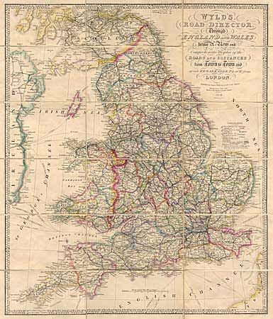
Subject: England and Wales
Period: 1859 (dated)
Publication:
Color: Hand Color
Size:
20.5 x 24 inches
52.1 x 61 cm
Download High Resolution Image
(or just click on image to launch the Zoom viewer)
(or just click on image to launch the Zoom viewer)