Catalog Archive
Auction 92, Lot 123

"Nova Virginiae Tabula", Hondius/Blaeu

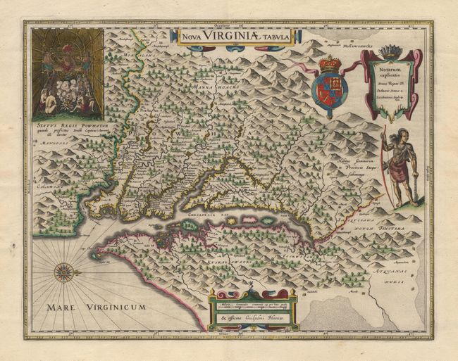
Subject: Colonial United States

Period: 1640-55 (published)

Publication: Theatrum Orbis Terrarum

Color: Hand Color

Size:
18.7 x 14.7 inches
47.5 x 37.3 cm
Download High Resolution Image
(or just click on image to launch the Zoom viewer)

One of the most important 17th century maps of the Chesapeake Bay region. The map is a version of the one made in 1612 by Capt. John Smith, which was the first to depict the bay and its tributaries with any accuracy. In the upper left corner is an engraving of the great Indian chief Powhatan seated on his throne and surrounded by his subjects. A Susquehanna chief is depicted on the right under a coat of arms and cartouche.

References: Burden #193.

Condition: A

Fine original color.

Estimate: $2,500 - $2,800

Sold for: $1,900

Closed on 9/13/2000

Archived