Catalog Archive
Auction 90, Lot 45
"A Physical Planisphere wherein are represented all the known Lands and Seas in the Great Chains of Mountains w'ch traverse the Globe, from the North Pole adapted to Mons. Buache's Memoire"
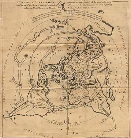
Subject: North Pole
Period: 1757 (published)
Publication: Gentlemen's Magazine
Color: Black & White
Size:
12.2 x 11.5 inches
31 x 29.2 cm
Download High Resolution Image
(or just click on image to launch the Zoom viewer)
(or just click on image to launch the Zoom viewer)