Catalog Archive
Auction 88, Lot 340
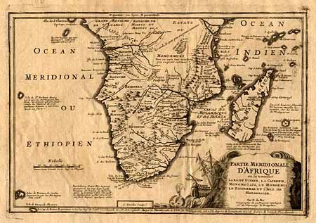
"Partie Meridionale d'Afrique ou se trouvent la Basse Guiness, la Cafrerie, Monomotapa, les Monoenugi, le Zanguebar et l'Isle de Madagascar", Fer, Nicolas de

Subject: Southern Africa
Period: 1715 (circa)
Publication:
Color: Black & White
Size:
12.5 x 8.5 inches
31.8 x 21.6 cm
Download High Resolution Image
(or just click on image to launch the Zoom viewer)
(or just click on image to launch the Zoom viewer)

