Catalog Archive
Auction 207, Lot 335
"De Stad, Reede, Haven en Rivier van Chagres, in de Spaansche Westindien", Tirion, Isaac
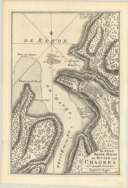
Subject: Chagres, Panama
Period: 1766 (circa)
Publication: Hedendaagsche Historie
Color: Black & White
Size:
6.9 x 10.1 inches
17.5 x 25.7 cm
Download High Resolution Image
(or just click on image to launch the Zoom viewer)
(or just click on image to launch the Zoom viewer)