Catalog Archive
Auction 207, Lot 108
"Carte du Cours du Fleuve de St. Laurent Depuis son Embouchure Jusqu'au Dessus de Quebec. Pour Servir a l'Histoire des Etablissemens Europeens", Bellin, Jacques Nicolas
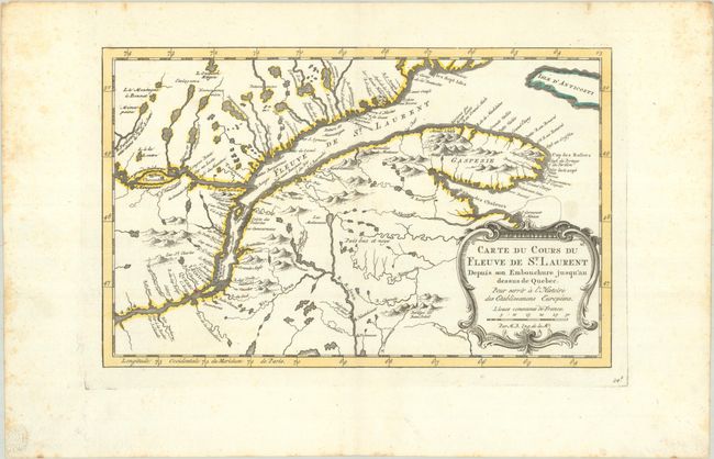
Subject: St. Lawrence River, Canada
Period: 1773 (published)
Publication: Raynal's Atlas Portatif
Color: Hand Color
Size:
11.7 x 7.4 inches
29.7 x 18.8 cm
Download High Resolution Image
(or just click on image to launch the Zoom viewer)
(or just click on image to launch the Zoom viewer)