Catalog Archive
Auction 205, Lot 569

"Geographiae Sacrae ex V. & N. Test Desumtae Tabula Secunda. In qua Terra Promissa in suas Tribus, Partesque Divisa", Sanson, Nicolas
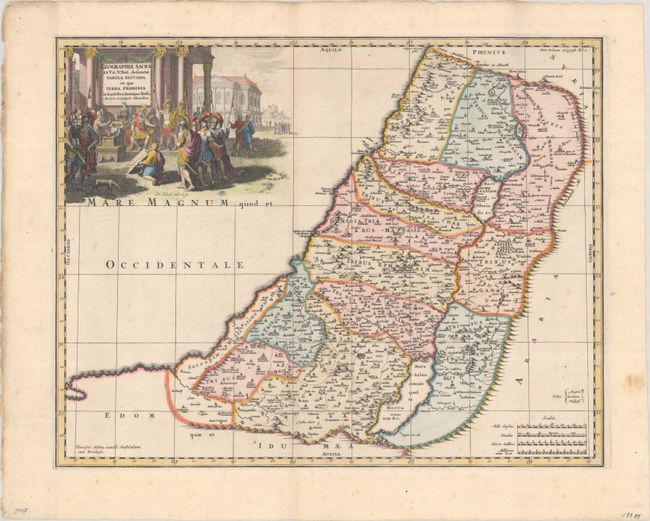
Subject: Holy Land

Period: 1704 (circa)

Publication: Geographia Sacra...

Color: Hand Color

Size:
19.7 x 15.4 inches
50 x 39.1 cm
Download High Resolution Image
(or just click on image to launch the Zoom viewer)

This fine map illustraes the lands described in the Old and New Testament and divides the land into the Twelve Tribes of Israel. The Kishon River connects the Mediterranean to the Sea of Galilee. The map is graced with a cartouche drawn by H. Eland, showing Joshua being presented with a survey of Canaan by his spies. This scarce edition was published by Francois Halma, after Sanson's map of 1662.

References: Laor #692.

Condition: A

A dark impression with contemporary color in the map and later color in the decorative elements. There is some faint foxing.

Estimate: $240 - $300

Sold for: $120

Closed on 9/10/2025

Archived