Catalog Archive
Auction 205, Lot 470
"Exacta Delineatio Geographica Omnium Electoratus Saxonici Circulo Lipsiensi Appartenentium Praefecturarum Colditium, Leissnigium, Rochlitium...", Seutter/Lotter
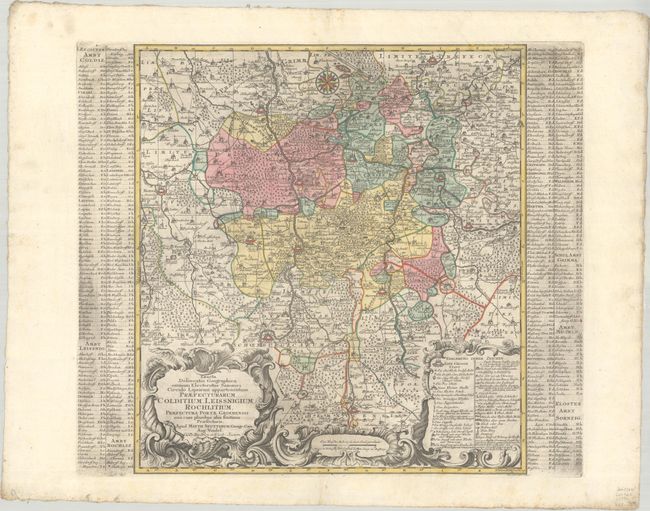
Subject: Eastern Germany
Period: 1740 (circa)
Publication:
Color: Hand Color
Size:
18 x 19.6 inches
45.7 x 49.8 cm
Download High Resolution Image
(or just click on image to launch the Zoom viewer)
(or just click on image to launch the Zoom viewer)