Catalog Archive
Auction 205, Lot 452
"Perfectissima Geographica Delineatio Regnorum Vandalitiae, Granatae, et Algarbiae; Tractuum, Meridionalium Portugalliae Extremadurae ac Castellae Novae...", Ottens, Reiner and Joshua
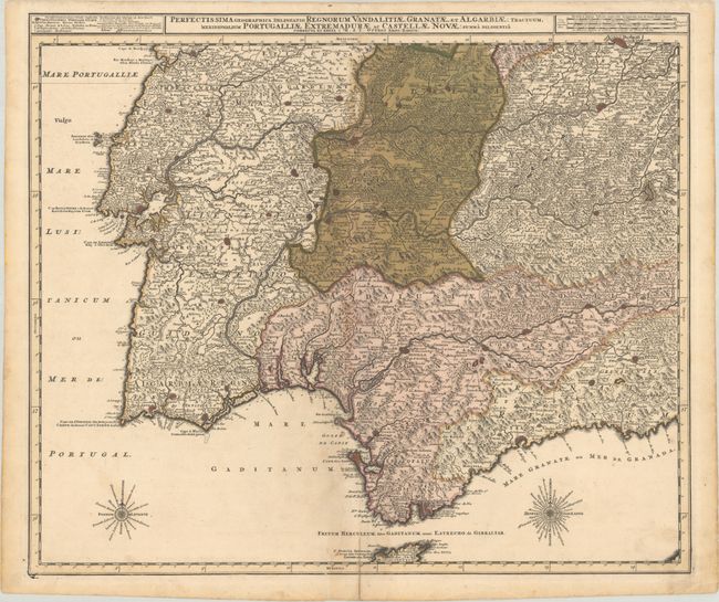
Subject: Southern Spain & Portugal
Period: 1725 (circa)
Publication:
Color: Hand Color
Size:
23.5 x 20 inches
59.7 x 50.8 cm
Download High Resolution Image
(or just click on image to launch the Zoom viewer)
(or just click on image to launch the Zoom viewer)