Catalog Archive
Auction 205, Lot 406
Rare Chart of Estonian Islands
"[I. Dago / I. Wormso]", Keulen, Gerard Hulst van
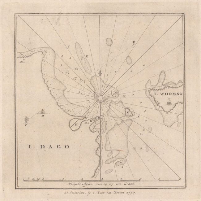
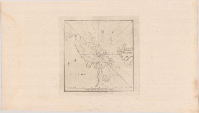
Subject: Hiiumaa, Estonia
Period: 1797 (circa)
Publication:
Color: Black & White
Size:
7.6 x 7.8 inches
19.3 x 19.8 cm
Download High Resolution Image
(or just click on image to launch the Zoom viewer)
(or just click on image to launch the Zoom viewer)