Catalog Archive
Auction 205, Lot 377
"The Road from Oxford to Bristol...", Gardner, Thomas
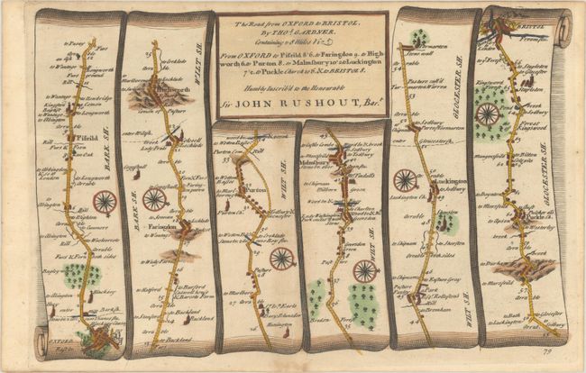
Subject: Southern England
Period: 1719 (published)
Publication: A Pocket-Guide to the English Traveller...
Color: Hand Color
Size:
10.5 x 6.8 inches
26.7 x 17.3 cm
Download High Resolution Image
(or just click on image to launch the Zoom viewer)
(or just click on image to launch the Zoom viewer)