Subject: Western United States
Period: 1857-61 (dated)
Publication:
Color: Black & White
Size:
34.2 x 20.5 inches
86.9 x 52.1 cm
This lot features a map and two reports by Frederick W. Lander on western explorations and routes to the Pacific:
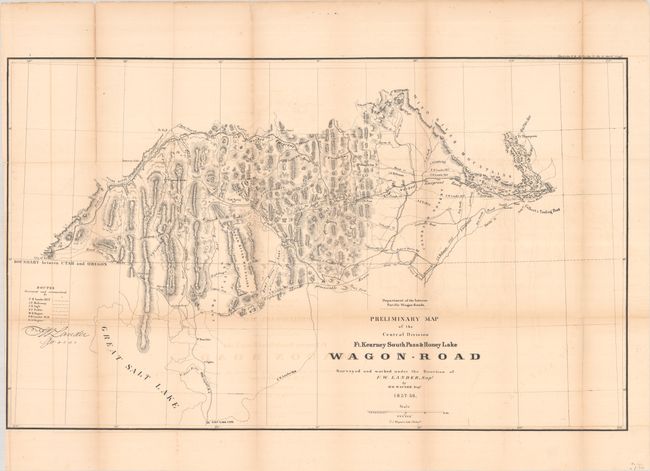
Preliminary Map of the Central Division Ft. Kearney South Pass & Honey Lake Wagon-Road... (34.3 x 20.6"), by W.H. Wager, dated 1857-58. This map shows the routes of exploration by Lander, Mullowney, Ingle, Ficklin and Wagner and the possible routes for the railroad and wagon road. “Jackson’s Little Hole” is located. Also names forts Hall, Piney, Thompson and Aspen. At the time Lander was a well-known western explorer, engineer, and poet. President Lincoln attended his funeral after he died serving as a Union general during the Civil War. Reference: Wheat (TMW) #1004.
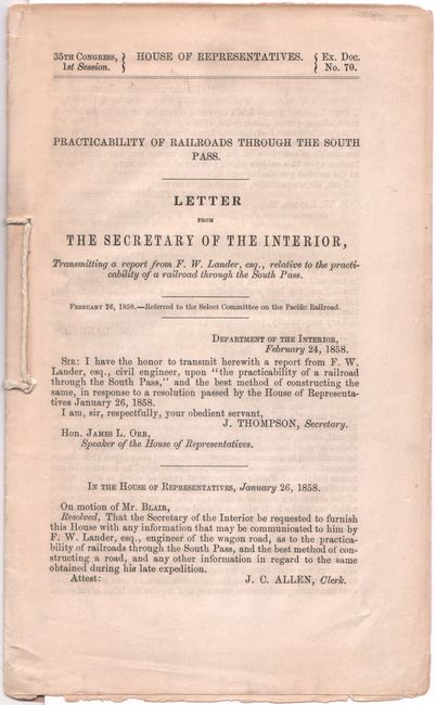
Practicability of Railroads Through the South Pass. Letter from the Secretary of the Interior…Transmitting a report from F.W. Lander... (6.0 x 9.8"), from H.R. Doc 70, 35th Congress, 1st Session, dated 1858. Based on recent explorations, Lander proposed a new route for railroads through the South Pass with an expedited schedule for completion. 20 pages. Never bound with original string ties. Reference: Wagner-Camp #301b.
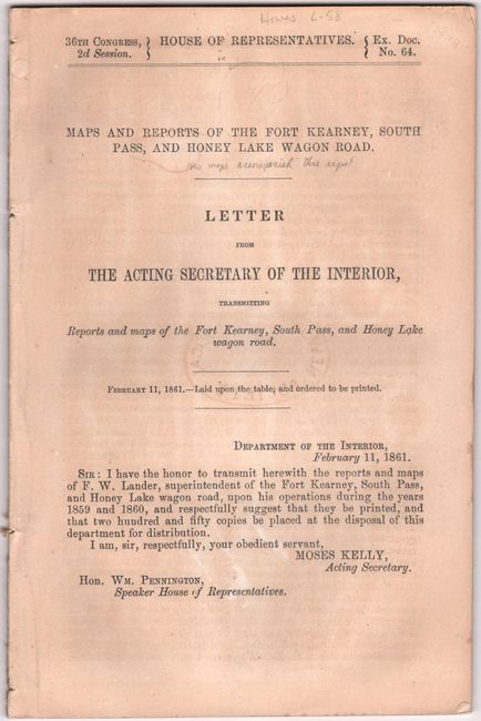
Maps and Reports of the Fort Kearney, South Pass, and Honey Lake Wagon Road... (5.7 x 8.7"), from H.R. Doc. 64, 36th Congress, 2nd Session. This 39-page disbound report contains reports by Lander and others of the routes from the Rockies to Oregon and California. Despite the title, no maps were published with this report. Howes notes that only 250 copies were printed. References: Wagner-Camp #376.2; Howes #L-58.
References:
Condition: B
The large folding map is now flattened and fully backed with tissue to repair a number of fold separations. There is light toning and some offsetting. Disbound reports are lightly toned, with the second having a faint stamp on the title page.