Subject: Philippines
Period: 1825-27 (published)
Publication: Atlas Universel
Color: Hand Color
Size:
21.9 x 18.9 inches
55.6 x 48 cm
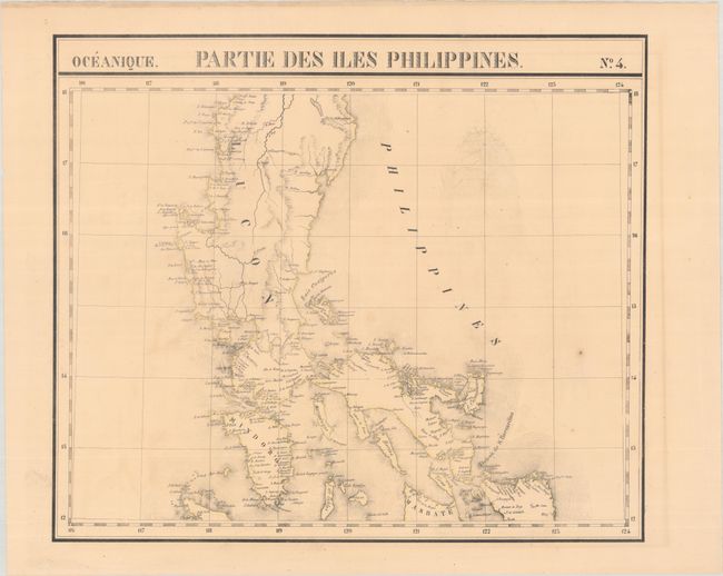
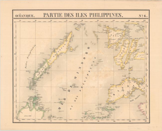
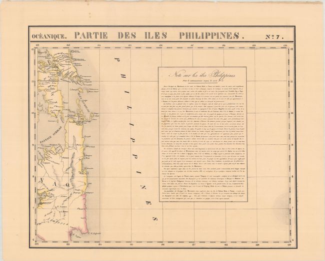
Vandermaelen was the son of a wealthy industrialist who abandoned his father's business to follow a career in cartography. His goal was to produce the first atlas ever published in which every map was drawn on the same projection and to the same scale (1: 1,641,836), with each map covering an area of approximately 20 degrees of longitude (from Paris) and 6 degrees of latitude. Because of the consistent scale and projection, the maps could be joined together to form a huge globe that would measure over 25 feet in diameter. Vandermaelen had the only known globe constructed from his maps, requiring a special room for its display. It was also the first lithographic atlas ever published. There was one edition of the atlas, published in 1825-27, and the subscription list shows that only 810 copies were sold. Koeman called his Atlas Universel, "One of the most remarkable world atlases ever made. Far ahead of its time."
This matching set of maps depict the majority of the Philippines, with the exception of the northern tip of Luzon and the southern tip of Mindanao. There is good detail of rivers and towns along the coasts and the numerous tiny islands. Sheet 7 includes a lengthy note describing the Philippines.
The Atlas Universel contained 400 maps in six volumes. The maps were published by subscription between 1825 and 1827, with each part containing ten maps. As there was only one edition with 810 copies sold, the maps are quite rare.
References:
Condition: B+
Nice impressions with contemporary outline color on lightly toned sheets with a few minor spots. Sheet 6 has light, scattered foxing.