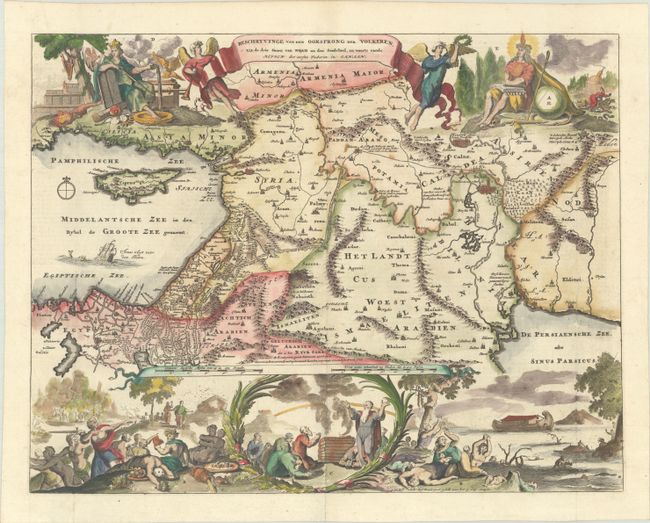
Subject: Middle East & Cyprus
Period: 1687 (circa)
Publication:
Color: Hand Color
Size:
18.1 x 14 inches
46 x 35.6 cm
This Dutch Bible map covers the region between the Mediterranean and the Persian Gulf, depicting numerous Biblical sites, including the wanderings of the Children of Israel, Jonas & the whale, Abraham's route from Ur, and the Garden of Eden. Other major places graphically illustrated in the map include Nineveh, Babylon, and the mountain where the Ark came to rest. Two angels hold aloft the title banner and pictorial scenes in the top corners representing the Old and New Testaments. Across the bottom of the map are several Biblical scenes illustrating the story of Noah and the Ark. Although the map was copied from Bastiaan Stoopendaal's map of 1682, all of the decorative scenes are unique to Avelen. Dutch text on verso.
References: Poortman & Augusteijn #149.
Condition: A
A crisp impression on a bright sheet, issued folding with a couple of tiny holes at the fold intersections.


