Subject: Exploration & Surveys, Africa & Arabia
Period: 1746 (published)
Publication:
Color: Black & White
Size:
8.3 x 10.4 inches
21.1 x 26.4 cm
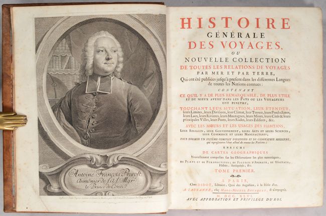
This is a very nice example of volume one of Prevost's history of voyages, with 13 maps by Jacques Nicolas Bellin. This is the 1746 "Nouvelle Collection" published in Paris. The volume is divided into three sections and describes the Portuguese expeditions to the East Indies, as well as the British expeditions to the East Indies and Africa. The maps are:
Carte Occidental d’Afrique Depuis de Detroit de Gibraltar. (7.8 x 9.7”)
Carte des Costes de Perse Gusarat et Malabar. (7.9 x 9.7”)
Plan du Fort de Mozambique. (6.5 x 7.5”)
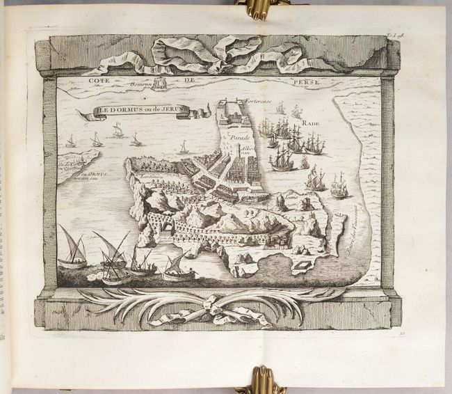
Ile Dormus ou de Jerun. (9.6 x 7.7”)
Ville de Diu. (9.7 x 7.7”)
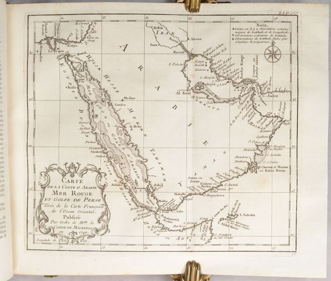
Carte de la Coste d Arabie Mer Rouge et Golfe de Perse. (9.9 x 8.6”)
Carte de la Coste Occidentale d’Afrique Depuis le XIIe Degre de Latitude Septentrionale. (9.9 x 7.9”)
Carte Exacte de la Cote du Cape Verd. (5.6 x 8.6”)
Coste Occidentale d Afrique Depuis le Xie Degre Latitude Meridionale. (10.3 x 9.6”)
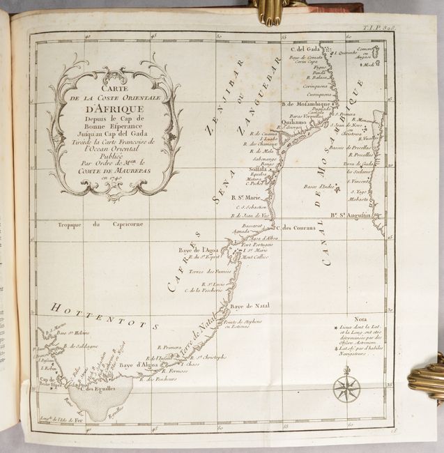
Carte de la Cost Orientale d’Afrique Depuis le Cap de Bonne Esperance. (8.9 x 9.6”)
Carte de Toutes les Isles Connues a la Coste de Zanguebar et Madagascar. (11.2 x 9.3”)
Pays de Sierra Leona. (8.8 x 6”)
Carte de la Coste Orientale d’Afrique Depuis le XIIIe Degre de Latitude Meridionale. (7.7 x 9.6”)
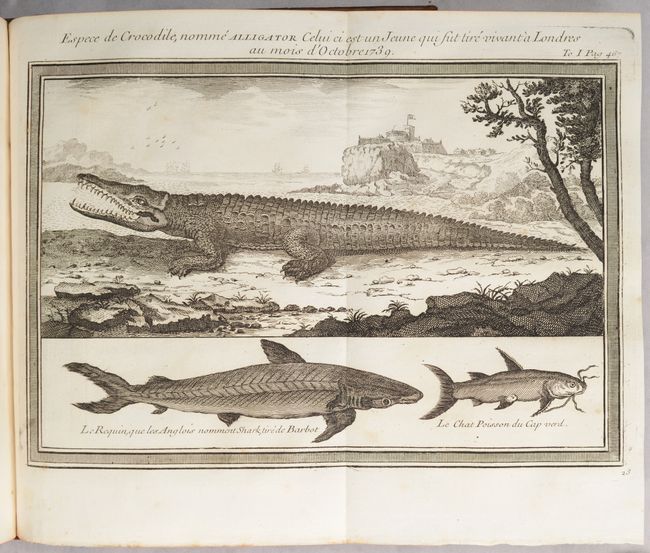
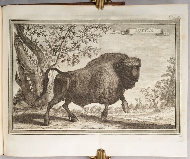
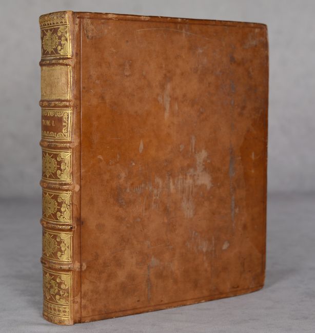
The frontispiece to the volume is a portrait of Prevost. Nine additional plates are included depicting natives and animals. Quarto. Frontispiece; title page; xvii pp.; xiv pp.; dedication; 563 pp.; [3pp]; 13 maps; 9 plates of illustrations. Hardbound in full calf with raised bands, gilt tooling and gilt title on spine; marbled endpapers; all edges red; original green ribbon page marker.
References:
Condition: A
A lovely example with crisp impressions on bright sheets. A couple of the maps have minor foxing or soiling. The map of the coast of Cape Verde has printer's ink residue. The text is also clean and bright and the title page and frontispiece have light foxing. The binding is sound. The covers are scuffed and have bumped corners, and there is a bit of cracking along the spine.