Subject: Atlases
Period: 1891 (published)
Publication:
Color: Printed Color
Size:
13.8 x 18 inches
35.1 x 45.7 cm
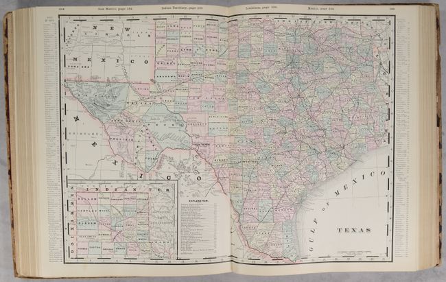
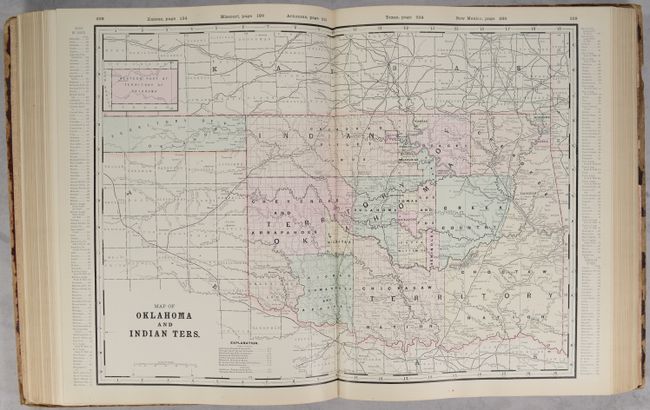
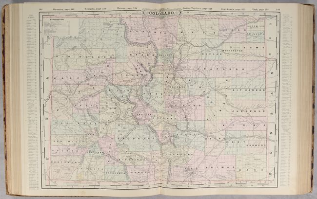
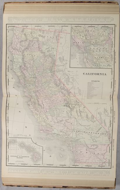
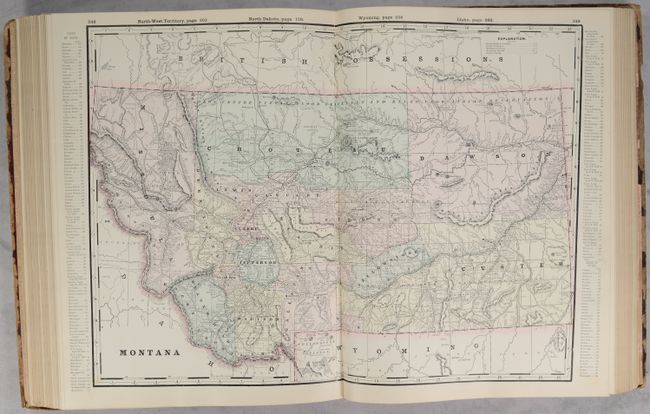
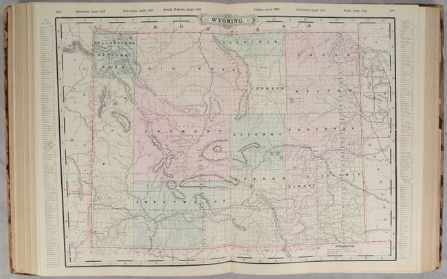
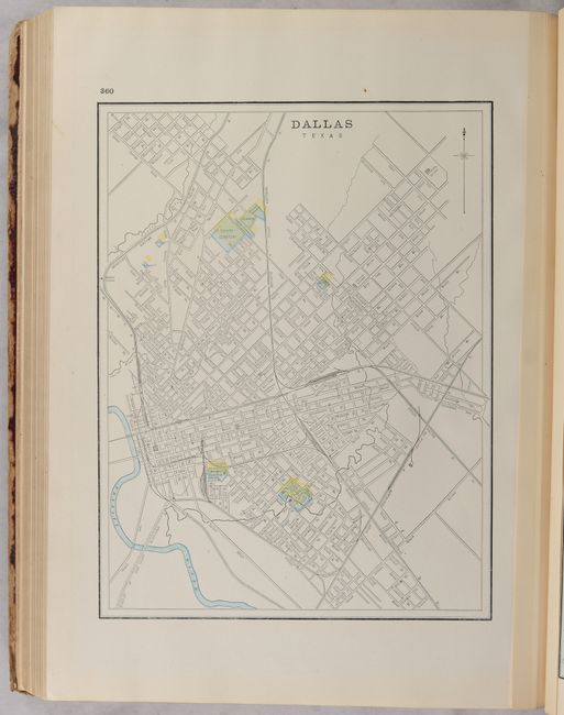
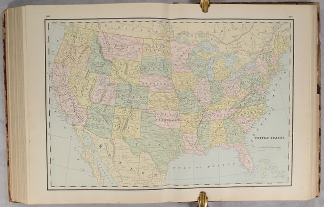
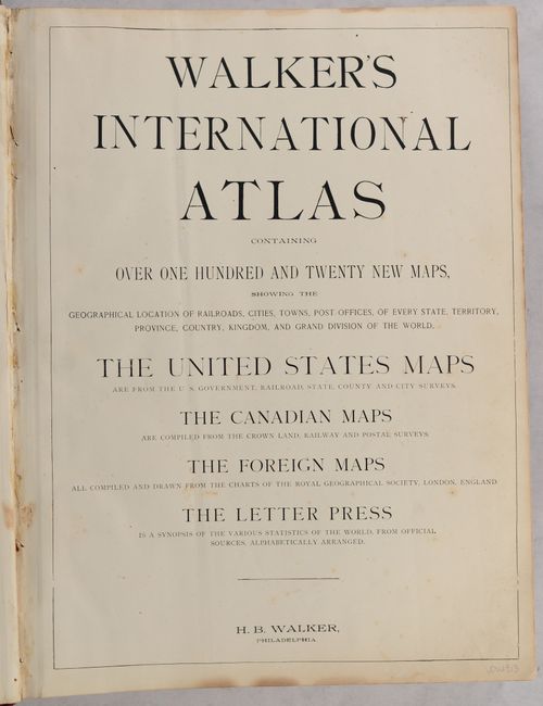
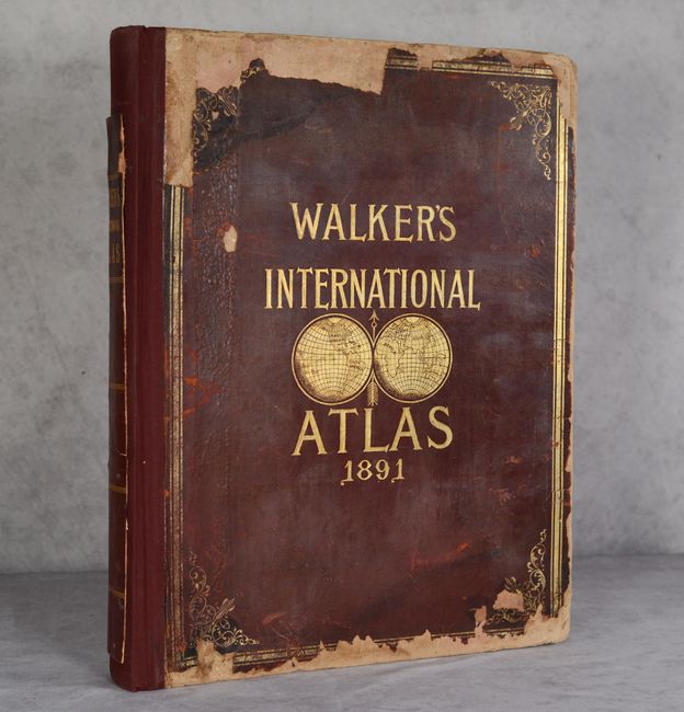
This large atlas contains 65 single-page and 87 double-page maps of the world. Many of the maps are hand colored, some are printed color, and others contain both methods reflecting a transitional time period when printers used plates made by different processes. Also unusual for this late date is the fact that the maps are tipped in, indicating a higher quality publication. Approximately half of the atlas is focused on the United States and feature nice maps of the west including Texas, Indian Territory, Colorado, Montana, Wyoming, and more. Each map is preceded by an introductory page including a list of railroads, counties, and an index to towns and cities. The atlas also features numerous city plans including locations not typically seen such as Atlanta, Brooklyn, Columbus, Detroit, Denver, Pittsburgh, Buffalo, Richmond, Dallas, and more. Following the maps are "Curiosities of Statistics or Valuable Facts for the People" and a Patron's Directory. 440 total pages, A.E.G. Rebacked in red cloth over original red leather boards with gilt title on the front cover.
References:
Condition:
The maps are clean, bright and near fine to fine with an occasional spot of foxing or minor soiling. The spine has been rebacked with the original boards, which are heavily chipped along the edges. The remnant of the original backstrip has been pasted onto the new spine. Maps (A) / Binding (B)