Subject: Atlases
Period: 1875 (published)
Publication:
Color: Hand Color
Size:
14.8 x 20 inches
37.6 x 50.8 cm
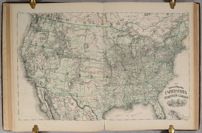
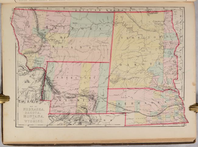
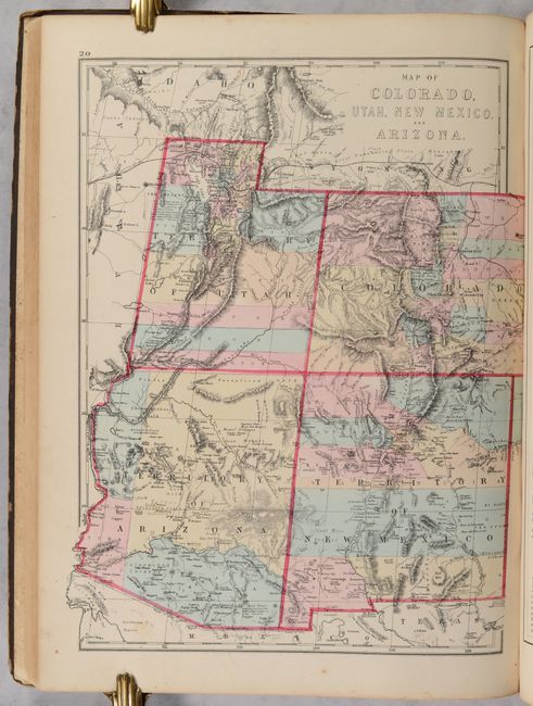
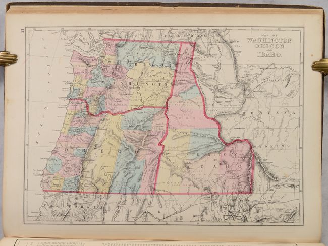
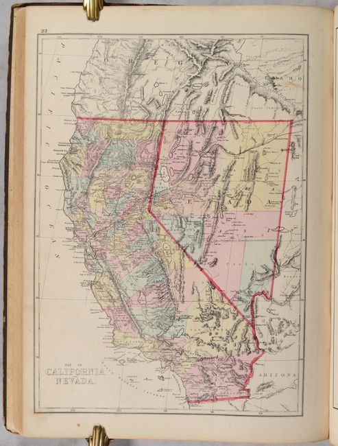
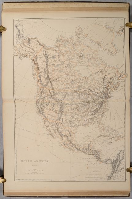
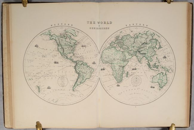
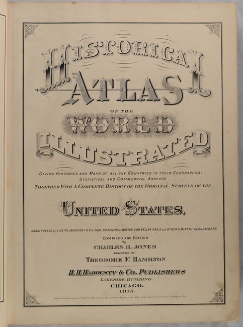
This attractive atlas contains a total of 15 double-page and 36 single-page maps mostly by Edward Weller, along with Keith Johnston, Henry Rogers and “other eminent geographers.” 15 maps relate to the United States, including a nice New Railroad Map of the United States and Dominion of Canada and attractive maps of Texas, California, and the Pacific Northwest. Includes 88 pages of explanatory text. Inserted at the front of the volume is a 38-page supplement for Fulton County, Ohio including 10 detailed township maps, several full-page illustrations, and a single-page map of Ohio. The atlas is completed by attractive steel engravings of Yellowstone, Yosemite, New York, and more. The atlas, issued during a transitionary period for printing technology, includes a combination of both hand-colored and printed color maps. Published by H.H. Hardesty & Company in Chicago. Hardbound in original quarter calf over brown cloth boards with gilt title and illustration on the front cover.
References:
Condition:
The maps range from good to near fine, with the vast majority being very good or better. There is some soiling mostly in the Fulton County (Ohio) special section, occasional scattered foxing, a few maps with light toning, and a few short edge tears. Front cover is loose and close to detaching. Binding is heavily worn with dampstaining and some loss of cloth on the rear cover. Contents: B+ / Binding: C+