Subject: Atlases
Period: 1824 (circa)
Publication:
Color: Hand Color
Size:
4.1 x 2.7 inches
10.4 x 6.9 cm
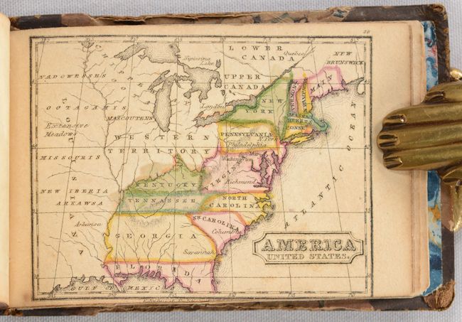
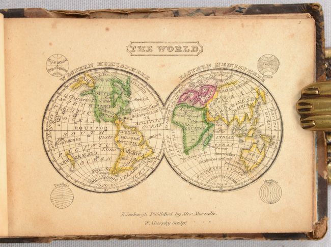
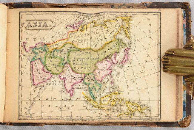
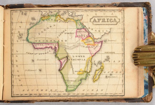
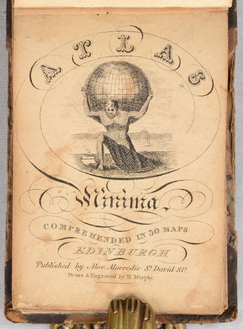
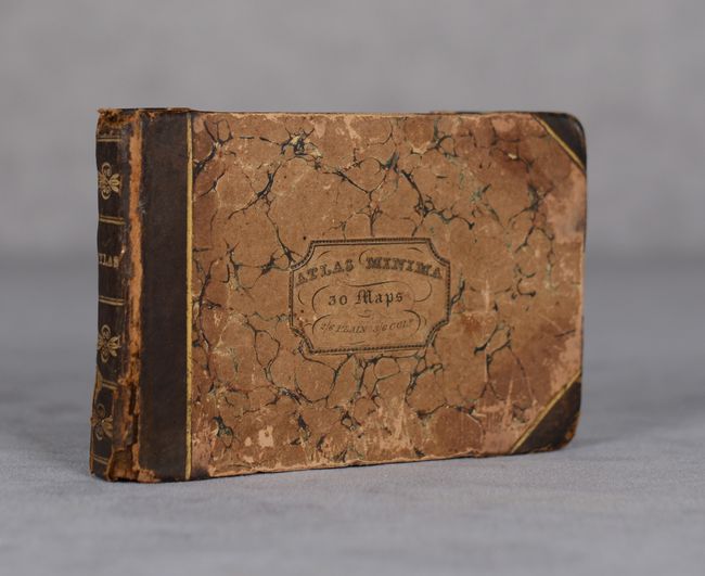
This charming miniature atlas includes 30 maps by William Murphy, an obscure Scottish cartographer and publisher of the early 19th century, as well as a member of the Edinburgh Geological Society. The title page includes an image of Atlas holding up the world in front of a river or lake. The atlas includes 2 maps of the world, maps of the 5 continents, 16 regional maps of Europe, 4 regional maps of Asia, and maps of Egypt, the United States, and the West Indies. The map of the United States is accurate circa 1800, with the new states of Kentucky and Tennessee and Georgia extending to the Mississippi River. Several territories are shown to the west, including the Northwest Territory, here called simply Western Territory, as well as Missouri and Arkawsa (Arkansas). Oblong 32mo. Title page, list of maps, 30 maps. Hardbound in contemporary quarter calf with tips over marbled paper-covered boards, with printed title label on front cover and gilt titling and tooling on spine. The title label on the cover lists the price as two shillings and sixpence plain and three shillings and sixpence colored. Published by Alex Macredie. The publication date is based on an "1824" watermark on the list of maps.
References: King (miniaturemaps.net) 1825a Murphy.
Condition: B+
The maps are in full contemporary color with light toning and soiling. The title page has moderate soiling. There are xerox copies of previous dealer listings for this atlas pasted onto the inside front cover and the front free-endpaper. The binding is tight and the covers have bumped corners with some soiling and abrasions. The spine has a small chip and some abrasions as well.