Current Auction
Lot 103
Current Auction

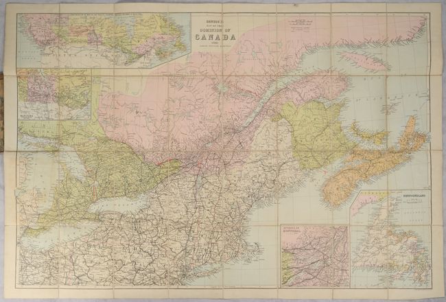
"Dawson's Map of the Dominion of Canada",

Subject: Eastern United States & Canada

Period: 1888 (dated)

Publication:

Color: Printed Color

Size:
32.5 x 21.6 inches
82.6 x 54.9 cm
Download High Resolution Image
(or just click on image to launch the Zoom viewer)

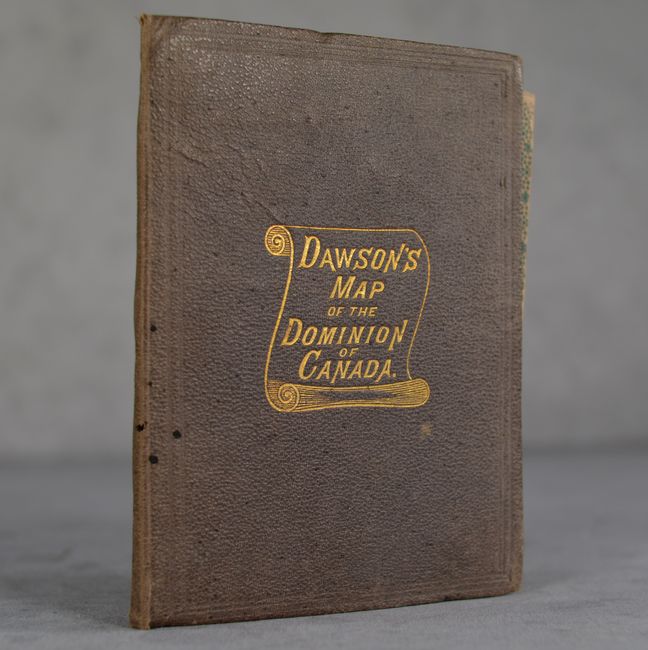
An attractive and highly detailed map of Eastern Canada and the northeastern United States. It presents railroads, canals, rivers, political boundaries, and more. The map features four inset maps of Montreal, Newfoundland, Manitoba and a "continuation of the map to the Pacific showing British Columbia & Manitoba." Dissected and backed with linen and folds into brown cloth-covered boards with decorative gilt title.

References:

Condition: B+

Dissected and backed with linen. There is some light toning and a few red pencil manuscript notations in the image. Covers are faded.

Estimate: $160 - $190

Sold for: $85

Closed on 4/24/2024

Closed