Catalog Archive
Auction 196, Lot 111

"Plan de la Cremailliere sur la Cote du Nord-Est de l'Ile de Terre-Neuve... [on sheet with] Plan du Havre de St. Antoine dans la Baie de St. Meen...", Depot de la Marine

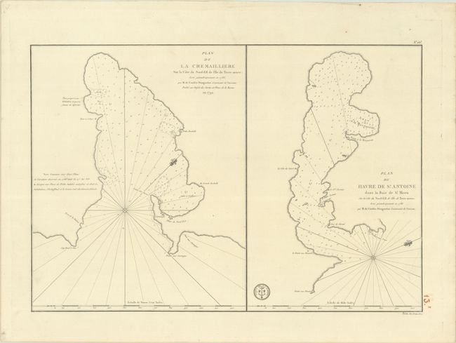
Subject: Newfoundland, Canada

Period: 1792 (dated)

Publication:

Color: Black & White

Size:
22.5 x 15.4 inches
57.2 x 39.1 cm
Download High Resolution Image
(or just click on image to launch the Zoom viewer)

This sheet contains two chart of bays in the northernmost part of Newfoundland. On the left is Cremaillere Harbor and on the right, just to its north, is St. Anthony Harbor. Navigational details include rhumb lines, numerous soundings, shoals and anchorages. Place names and even individual buildings are located along the coastlines. The engraved seal of the Depot de la Marine appears along the bottom border, and the price of "Prix Un Franc 50 c" is below the map at right.

References:

Condition: A

A crisp impression on a clean bright sheet with a few faint spots.

Estimate: $200 - $230

Unsold

Closed on 2/7/2024

Archived