Subject: Atlases
Period: 1839 (circa)
Publication:
Color: Hand Color
Size:
9.7 x 13.5 inches
24.6 x 34.3 cm
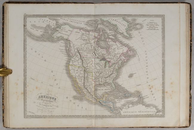
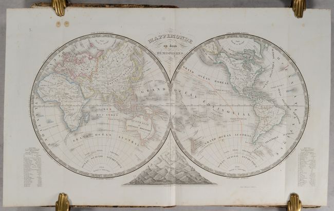
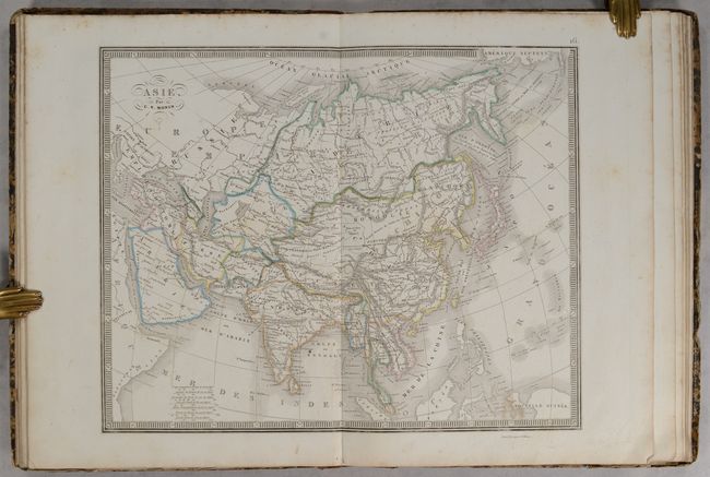
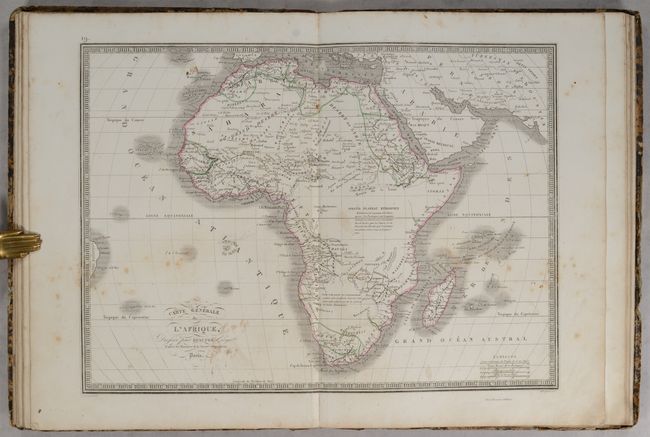
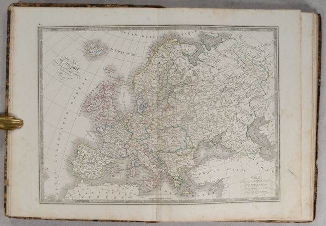
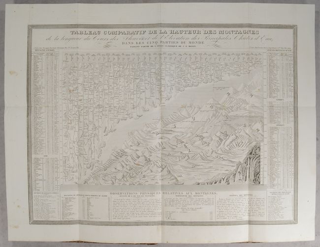
This atlas features 40 maps of ancient and modern geography, as well as a large comparative folding plate of mountains and rivers. Included are maps of the world, 2 related to the solar system, the 5 continents, 11 related to Europe, 2 related to Asia, Oceania, and 18 ancient maps.
Of particular interest it the map of North America, Amerique Septentrionale, which features the Independent Republic of Texas nestled between the United States and a large Mexico. Texas is in an odd configuration with the western border displaced too far to the east from the Rio Grande River, putting San Antonio and Santa Fe in Mexico. The Rocky Mountains are called the Montagues Rochieuses. The Great Salt Lake is called Lake Timpanogos with the smaller Lake Teguyao below. Several spurious river systems cross the Great Basin area. This French map portrays the United States extending well into British Columbia, which was eventually known as the Fifty-four Forty or Fight controversy, cartographically taking the side of the United States. Alaska is Russie Americaine, and all of Canada is Nouvelle Bretagne. The map was created by N. Pere Lorrain and engraved by Lale.
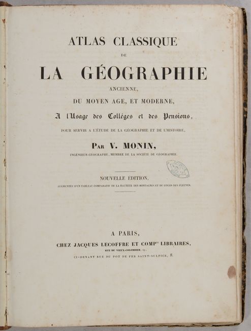
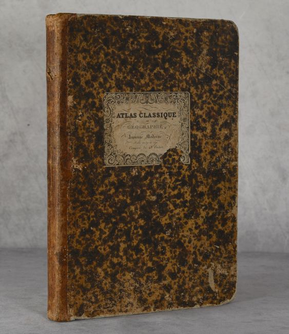
Title page, list of publications, author's note, and 40 maps and 1 engraving. Small folio. Hardbound in quarter leather over mottled paper-covered boards with engraved title plate on front cover.
References:
Condition:
The maps have contemporary outline color on mostly bright sheets and range in condition from near fine (A) to very good (B+) with light soiling and occasional foxing. The maps of North America and Africa have the most significant foxing. The world map has a couple of small stains at top left and the map of Oceania has a tear that enters the map border at bottom. The title page has a small stain and an old stamp from a previous owner. The covers are heavily worn with abrasions and bumped corners, and the title label is chipped. The spine is worn with a small hole near the top.