Catalog Archive
Auction 192, Lot 772

NO RESERVE

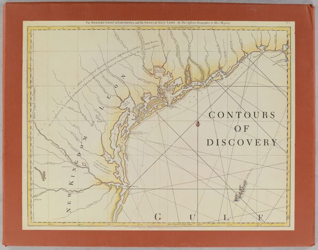
"[Portfolio] Contours of Discovery - Printed Maps Delineating the Texas and Southwestern Chapters in the Cartographic History of North America, 1513-1930",

Subject: References, Texas

Period: 1981 (published)

Publication:

Color: Printed Color

Size:
22.3 x 17.5 inches
56.6 x 44.5 cm
Download High Resolution Image
(or just click on image to launch the Zoom viewer)

This portfolio includes 22 facsimile maps tracing the cartographic history of Texas. Ranging from Waldseemuller's Tabula Terre Nove (1513) to C.B. Metcalfe's series of maps charting the development of Texas' counties from 1840 through 1930 (1935), this collection covers more than four centuries of Texas and the Southwestern United States on maps. Published by the Texas State Historical Association in cooperation with the Center for Studies in Texas History at the University of Texas, Austin. The maps are contained in a terra cotta card stock portfolio with an illustrated cover. This lot does not include the accompanying 66-page book by Robert Sidney Martin and James C. Martin.

References:

Condition: A

The facsimile maps are in near fine condition, with some very minor creasing. The portfolio has minor shelf wear.

Estimate: $40 - $60

Sold for: $21

Closed on 4/26/2023

Archived