Subject: References
Period: 1968 (published)
Publication:
Color: Printed Color
Size:
11.1 x 16.4 inches
28.2 x 41.7 cm
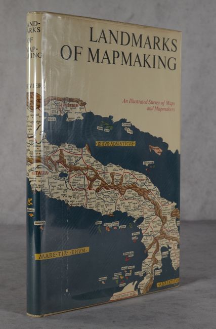
Charles Bicker wrote this beautifully produced and well-illustrated cartographic reference. It covers the exploration and mapping of Europe, Asia, Africa, the Americas, and Australia. The preface is by Gerald Roe Crone, and the maps were chosen by R. V. Tooley. Comprised of 276 pages, over 350 illustrations, including maps, portraits, title pages, and reproductions from early sources, 14 color folding maps, other color illustrations, bibliography, and index. Folio, hardbound in linen cloth, gilt lettering, gilt and white compass rose on front cover, and an illustrated dust jacket protected by Mylar.
References:
Condition: A
Contents and covers are near fine. Dust jacket is lightly soiled along the edges.