Subject: Atlases
Period: 1856 (published)
Publication:
Color: Hand Color
Size:
9.9 x 12 inches
25.1 x 30.5 cm
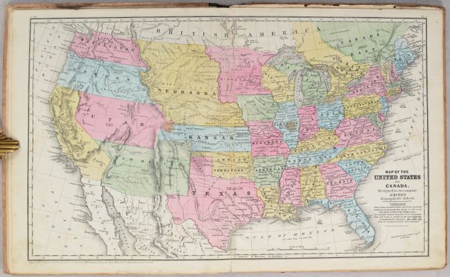
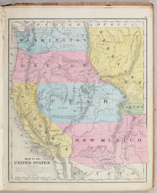
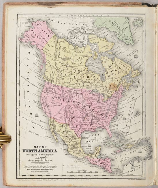
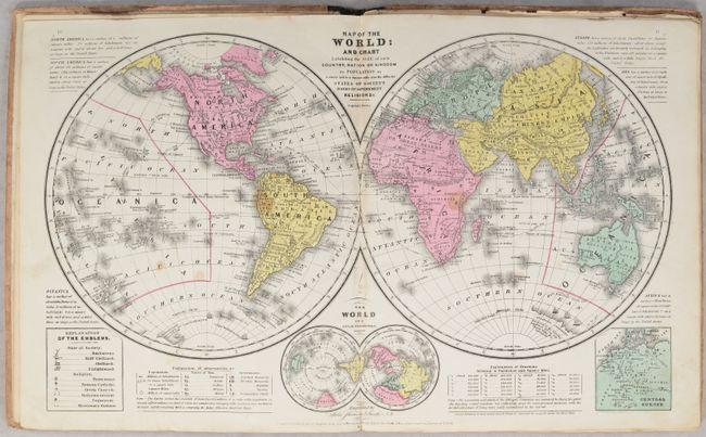
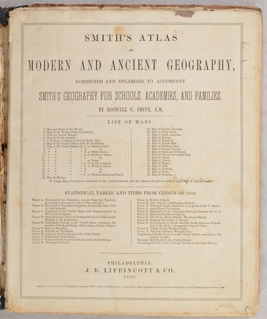
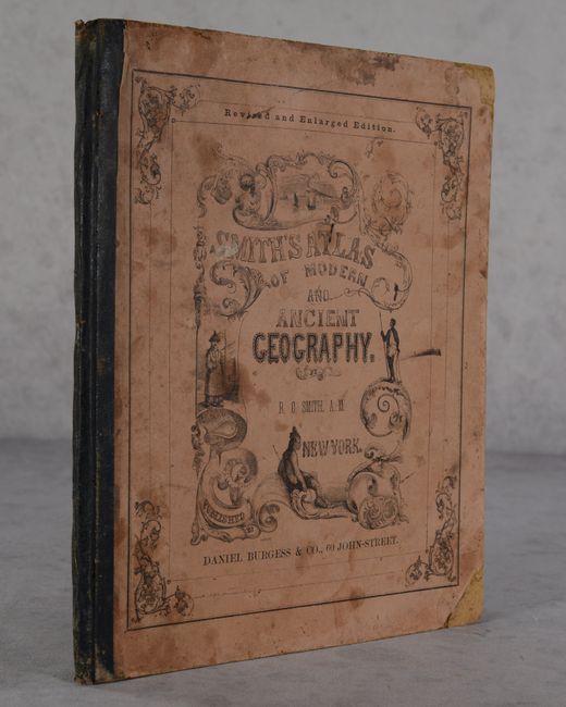
This revised and enlarged edition contains 35 maps, consisting of 3 double-page and 21 single-page maps. Of particular interest is the double-page map of the United States with early territorial borders in the west. The territories of Washington and Oregon extend to the Continental Divide, Utah is a huge area that extends from California to the Continental Divide. New Mexico Territory occupies all of today's Arizona and part of Colorado and the border with Mexico reflects the Gadsden Purchase. A huge Nebraska extends between the Continental Divide and Minnesota. A large Gold Region is shown in north central California. The atlas also contains several regional maps of the United States including one of the Far West, a single-page map of Texas, and double-page map of the world. Includes 13 pages of statistical tables. Quarter leather over brown-colored pictorial boards. 68 pages. Published by Daniel Burgess & Co.
References:
Condition: B+
Condition code is for the maps, which are quite bright with occasional staining and soiling. Accompanying text has some staining. Covers are detached from the text block. Boards are soiled and chipped in a few places.