Subject: Atlases
Period: 1763 (dated)
Publication:
Color: Hand Color
Size:
3.4 x 5 inches
8.6 x 12.7 cm
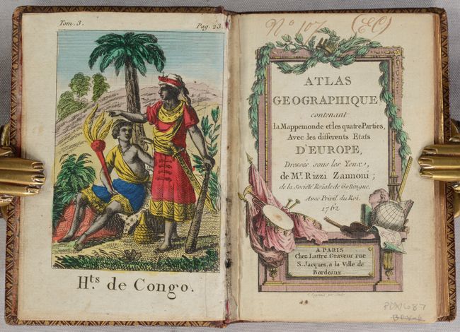
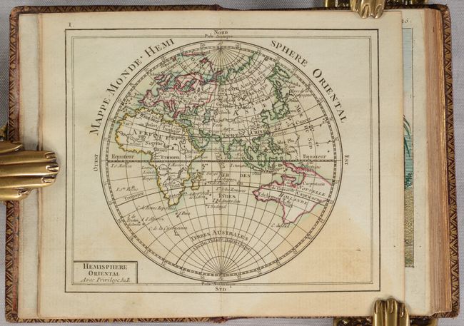
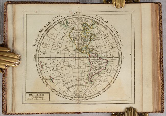
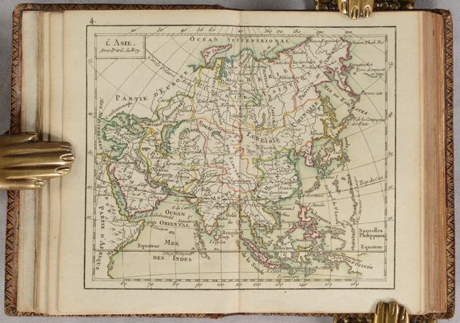
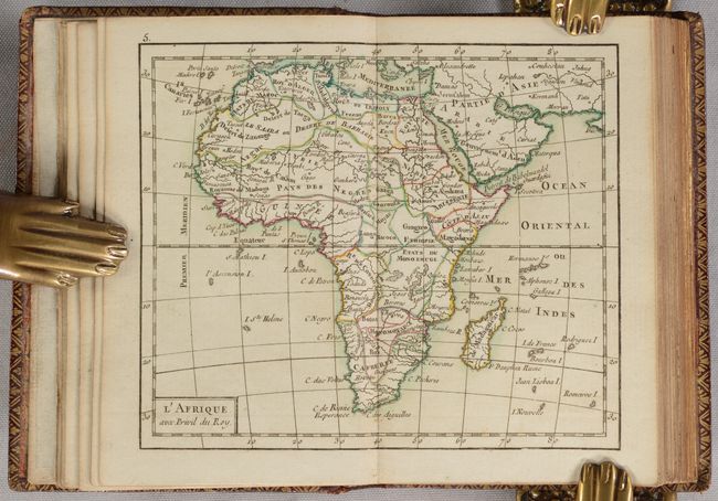
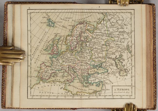
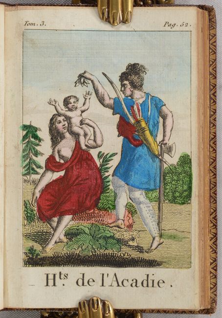
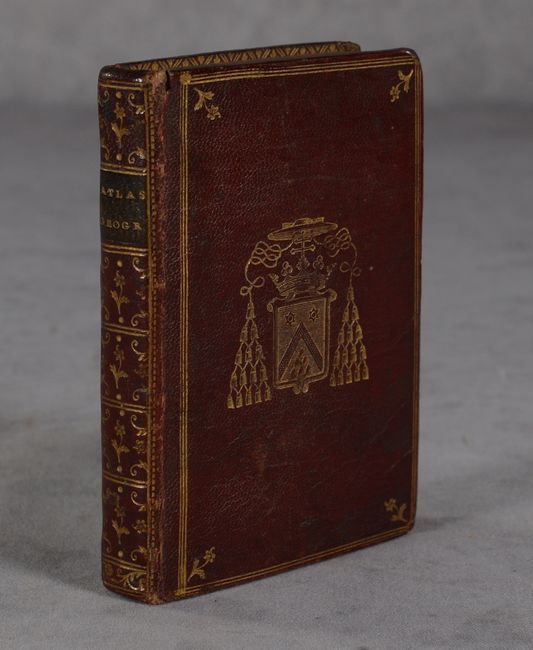
This is a unique example of this handsome miniature atlas with 29 maps and 4 engravings added depicting peoples from around the world. The added engravings show the traditional costumes of both men and women from Congo (Africa), Acadia (Canada), Macau (China) and Anaamoka (French Polynesia). We have not been able to identify the source of these engravings, however, they appear to have been removed from a multi-volume work, as they include a volume number and page number in the top margin. Maps in the atlas include the Eastern Hemisphere, Western Hemisphere, Europe, Asia, Africa, North America, South America, and the regions of Europe. Cartographically, the map of the Eastern Hemisphere shows a large Australian landmass with New Guinea and Tasmania still connected, and the North America map shows a virtually blank northwestern coast and the British colonies are simply labeled Caroline. The frontispiece is lacking in this example, apparently replaced by the engraving of the couple from the Congo. The decorative title page was engraved by L. Legrani. At the end of the volume is a section of text titled Idee de la Sphere, ou Principes sur la Geographie Astronomique, by Rigobert Bonne, dated 1763. The text includes a partial listing of the maps in the volume. 32mo., hardbound in contemporary leather with gilt decorations on covers and spine; marbled endpapers and a.e.g. (all edges gilt). This appears to have been a presentation example as a coat of arms has been embossed in gilt on the covers and also appears on a paper bookplate pasted onto the inside front cover.
References: Shirley (BL Atlases) T.RIZ-1a.
Condition: A
The maps are clean and bright with contemporary color and minor centerfold toning. The engravings appear to have old color and have minor soiling.