Subject: South Africa
Period: 1950 (circa)
Publication:
Color: Printed Color
Size:
22.1 x 17.8 inches
56.1 x 45.2 cm
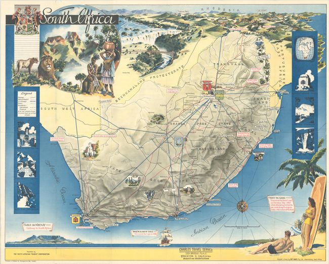
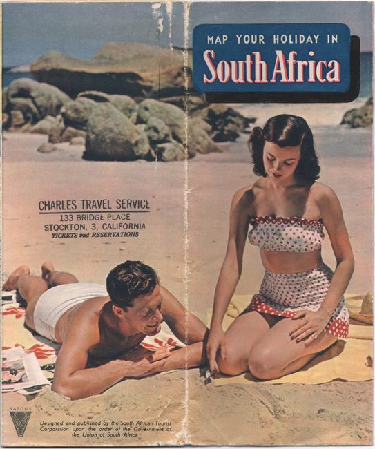
This tourist map shows the major roads, railways and air routes in South Africa and includes images of some of the sites to see, such as Kruger National Park, an ostrich farm, Dutch colonial architecture, and Cango caves. On verso is more information on what to do and see along with photographic images. The map was designed and drawn by Art Maps in Johannesburg. Published by the South African Tourist Corporation.
References:
Condition: B+
Issued folding with a few tiny splits at the fold junctions and a longer 2" separation at left. There is a stamp for "Charles Travel Service" in the lower border.