Catalog Archive
Auction 192, Lot 616

"Carte des Indes, de la Chine & des Iles de Sumatra, Java &c Dressee sur les Memoires les Plus Nouveaux & sur les Meilleures Observations, Tirees des Relations les Plus Fideles", Chatelain, Henry Abraham

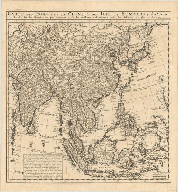
Subject: Eastern & Southern Asia

Period: 1720 (circa)

Publication: Atlas Historique

Color: Black & White

Size:
19.3 x 20.1 inches
49 x 51.1 cm
Download High Resolution Image
(or just click on image to launch the Zoom viewer)

This large, attractive map covers the vast region extensively explored by the Europeans with particular emphasis on the trade routes on the mainland and the islands of the Philippines and the East Indies. In Japan, Hokkaido (Terre d' Yeco ou d'Eso) is attached to the Asian mainland, and the Sea of Japan is named Mer Orientale ou Mer de Coree. Korea is correctly shown as a peninsula, although much too wide. The mythical Lac de Chiamay appears in present-day Burma with several rivers flowing south. The map is filled with details of towns, roads, rivers and topography. French text block in map with title at top.

References:

Condition: A

A dark impression, issued folding with minor offsetting and a tiny tear at the fold intersection. There is faint foxing mostly confined to the blank margins.

Estimate: $550 - $700

Sold for: $400

Closed on 4/26/2023

Archived