Catalog Archive
Auction 192, Lot 434

"Hollandia quae olim Batavia Antiqua Catthorum Sedes...", Quad, Matthias von Kinckelbach

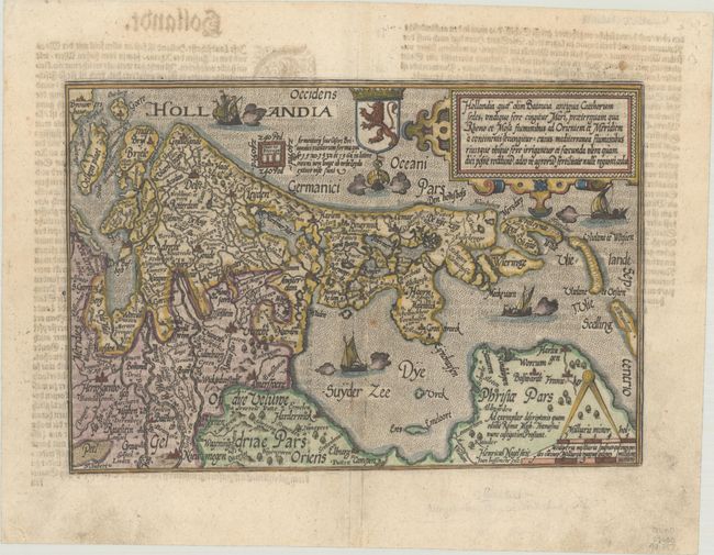
Subject: Western Netherlands

Period: 1600 (circa)

Publication: Geographisch Handtbuch...

Color: Hand Color

Size:
10.6 x 7.2 inches
26.9 x 18.3 cm
Download High Resolution Image
(or just click on image to launch the Zoom viewer)

This handsome map covers the western half of the Netherlands, including the Province of Friesland. Several cities and towns are located, including Amsterdam, Rotterdam, and the Hague. The stippled sea is filled with several types of sailing ships, and the map is embellished with a strapwork title cartouche, leonine coat of arms, and decorative distance scale. The map was engraved by Heinrich Nagel and published by Janus Bussemacher. German text on verso.

References: Mickwitz & Miekkavaara #239-44.

Condition: B+

A nice impression with a professionally repaired centerfold separation, a couple spots of rust, and light show-through of text on verso.

Estimate: $300 - $375

Unsold

Closed on 4/26/2023

Archived