Catalog Archive
Auction 192, Lot 432

"Pars Occidentalis Praefecturae Hadersleben cum Adjacentibus Ripen et Lohmcloster Praefecturis", Blaeu, Johannes

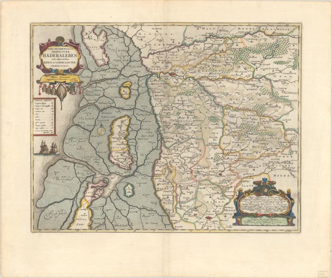
Subject: Southern Denmark

Period: 1662 (circa)

Publication: Atlas Maior

Color: Hand Color

Size:
21.1 x 16.5 inches
53.6 x 41.9 cm
Download High Resolution Image
(or just click on image to launch the Zoom viewer)

This map details southwestern Denmark between the cities of Ribe and Tonder and as far east as Sommersted. Cities, roads, political boundaries, rivers, and forested areas are well detailed. The Danish Wadden Islands and the surrounding sandbanks are also depicted. The map is adorned with a strapwork title cartouche featuring fish hanging from a line and a second strapwork cartouche that attributes the cartography to Johannes Mejer. Latin text on verso.

References: Van der Krogt (Vol. II) #1617:2.2.

Condition: A+

A sharp impression with full contemporary color on a bright sheet with a large watermark of the god Atlas. There is minor marginal soiling.

Estimate: $200 - $230

Sold for: $300

Closed on 4/26/2023

Archived