Subject: London, England
Period: 1950 (circa)
Publication:
Color: Printed Color
Size:
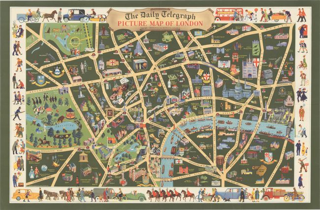
27.5 x 18 inches
69.9 x 45.7 cm
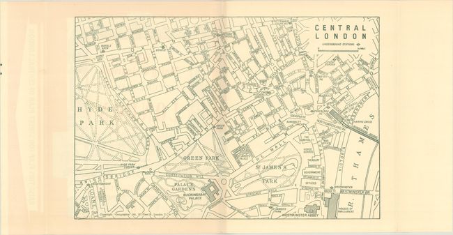
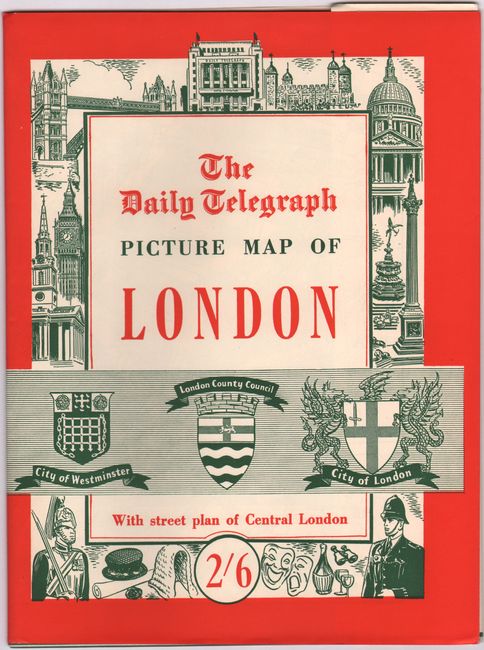
This charming and colorful pictorial map of London was created by Vale Studios for "Geographia" Ltd. It covers the area from Hyde Park and Regent's Park to London Tower. The densely filled map displays parks, buildings, named streets, and images representing interesting sites. The map is surrounded by numerous small vignettes of the various types of people that can be found in London, including artists, business men, policemen, vendors, children, foreigners, and more. The map is accompanied by the original illustrated paper slipcase with a street plan of Central London printed on the inside.
References:
Condition: A
There is a minor crease adjacent to the title cartouche at top left, otherwise fine. Issued folding.