Subject: Europe
Period: 1783-87 (circa)
Publication:
Color: Hand Color
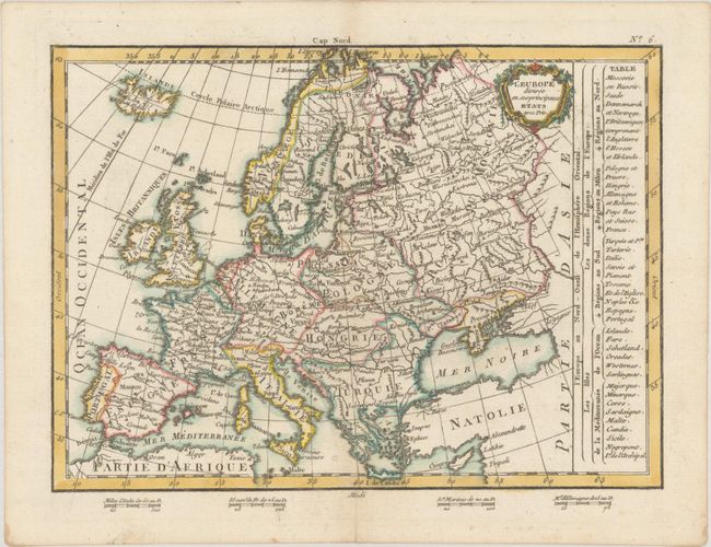
A. L'Europe Divisee en ses Principaux Etats avec Priv., by Jean Lattre, from Petit Atlas Moderne ou Collection de Cartes Elementaire, published 1783 (9.8 x 7.2"). This handsome small map of the continent names major cities and shows political divisions. A table to the right identifies regions in the north, center, and south as well as islands in the ocean and Mediterranean. There is a small decorative title cartouche at top right. Four distance scales appear below the neatline at bottom. Condition: On paper with a bunch of grapes watermark and a hint of soiling in the margins.
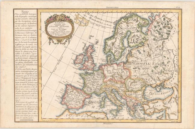
B. Europa Veteribus Nota. L'Europe Ancienne..., by Etienne Andre Philippe de Pretot, from Recueil de Cartes pour l'Etude de l'Histoire Ancienne…, circa 1787 (14.9 x 10.3"). This map depicts the continent with its ancient place names. It was published in an edition of Philippe de Pretot's terrific historical atlas. To the left of the map is a panel of French text featuring additional information on the region. Engraved by Moithey, with lettering by Herault. Condition: A nice impression with minor soiling and light foxing that are mostly confined to the margins.
References:
Condition: A
See description above.