Catalog Archive
Auction 192, Lot 390

"L'Europe Divisee Suivant l'Estendue de ses Principaux Estats Subdivises en Leurs Principales Provinces...", Sanson/Jaillot
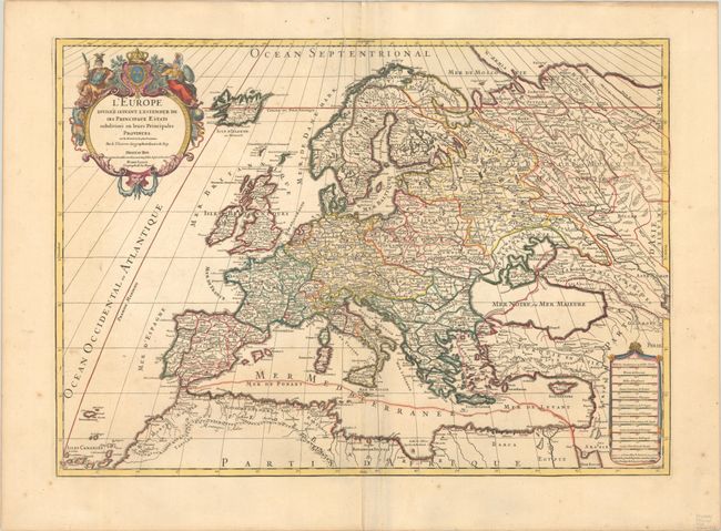
Subject: Europe

Period: 1710 (circa)

Publication:

Color: Hand Color

Size:
25.4 x 18.1 inches
64.5 x 46 cm
Download High Resolution Image
(or just click on image to launch the Zoom viewer)

This map of Europe is divided into countries and provinces with good detail of towns and rivers throughout. The map extends to include Iceland. The divisions between Europe, Africa and Asia are shown with dashed lines. The lovely title cartouche features Athena, Mars, and the royal coat of arms of France.

References:

Condition: A

A nice impression on a sturdy sheet with the watermark of a Maltese cross encircled in rosary beads. There is minor extraneous creasing along the centerfold, a printer's crease at top center, and a few spots of foxing in the blank margins.

Estimate: $475 - $600

Sold for: $350

Closed on 4/26/2023

Archived