Subject: World
Period: 1871 (circa)
Publication:
Color: Hand Color
Size:
38.3 x 27.5 inches
97.3 x 69.9 cm
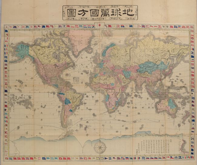
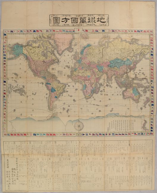
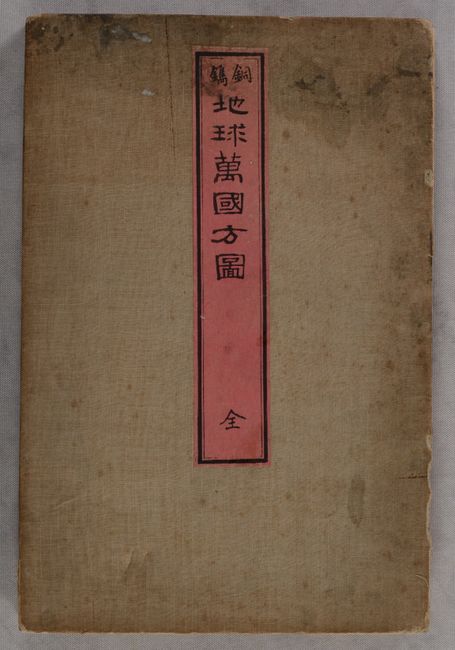
This large and elaborate Japanese map of the world is drawn on Mercator's Projection. Countries are shown in various hand colors with an emphasis on physical features including topography and drainage. Numerous place names are identified along the coastlines throughout. Isothermal lines are drawn across the map and ocean current direction is indicated by small arrows. Of particular interest is the Sea of Japan, which is noted as both the Great Japan Sea (in large characters) and the Sea of Korea (in smaller letters). In Australia, the dates of discovery are shown for various areas, and the gold mines are noted in in New South Wales. The extensive southern landmass contains annotations including "Southern Black Land" on the eastern coast and "Cook Came Here in 1774" on the western coast. The map is surrounded by a decorative border featuring various national flags with Japan's flag placed at top center flanked by five Dutch flags. A substantial section of text below the map provides country-level details including major cities, currencies, measurements and much more. Published by Suharaya Mohei and Suharaya Ihachi in Tokyo. The full sheet measures 39.3 x 48.8" and self-folds into stiff wrappers with an accompanying modern cloth case.
References:
Condition: B+
Issued folding with light toning and soiling. There are numerous wormholes, most prominent in the top blank margin, that have been backed on verso with archival materials. Accompanying modern case is fine.