Subject: Western Canada
Period: 1930 (circa)
Publication:
Color: Printed Color
Size:
46.3 x 16.8 inches
117.6 x 42.7 cm
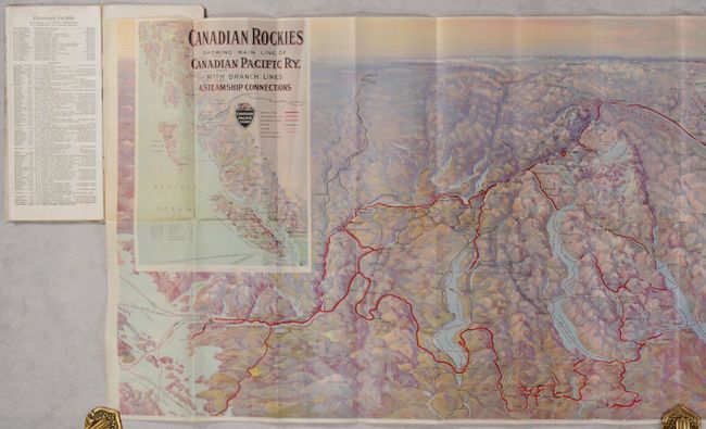
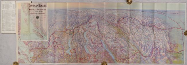
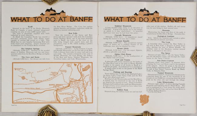
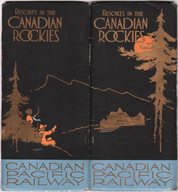
This is a stunning bird's-eye view from the south that shows the Pacific Northwest and extends east to Edmonton, Alberta on the far horizon. The map shows Seattle at lower left, extends from the Cascade Mountains to show Okanogan Lake, Upper & Lower Arrow Lake, Kootenay Lake, the Kootenay River Valley, and across the Rocky Mountains to Calgary. Further north are Spence's Bridge, Kamloops, Revelstoke, Glacier Park, Yoho Park and Banff Park. Beautiful 3-D effect shows hundreds of mountains and all of the major rivers and lakes. Important places such as the Banff Springs Hotel are illustrated. At the far horizon is Ullin, the Rocky Mountain House, and Quesnel and Barkerville at the end of the important Caribou Road. The title incorporates an inset map of the coastal region showing from Vancouver Island to Haines. This is a very finely rendered and colorful gravure image. This large pocket map folds into the brochure, Resorts in the Canadian Rockies, with 31 pages of information, photographs, and maps for the curious tourist. Stiff paper covers with an elegant design. Issued by the Canadian Pacific Railway. Printed in Canada.
References:
Condition: B+
Issued folding with a few short splits at fold intersections. Brochure covers have light wear along the edges.