Subject: Western North America
Period: 1801 (published)
Publication:
Color: Black & White
Size:
5.1 x 7.9 inches
13 x 20.1 cm
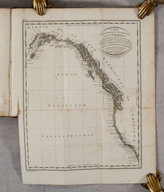
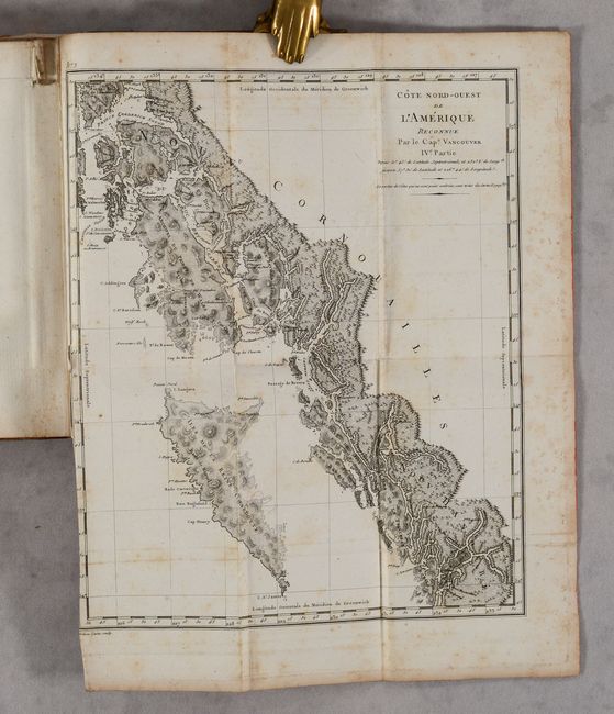
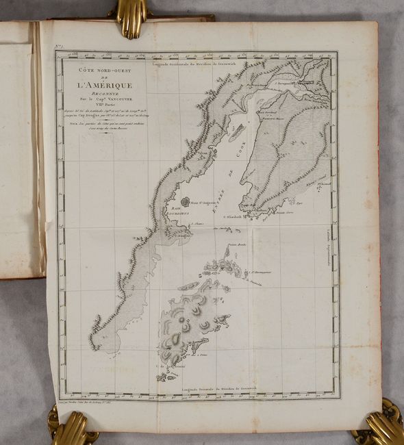
This is the complete octavo French edition of Vancouver's Voyages. During the summers of 1792-94, George Vancouver and the crew of the British naval ships Discovery and Chatham mapped the northwest coast of North America from Baja California to Alaska. Vancouver's voyage was the last, and longest, of the great Pacific voyages of the late eighteenth century. Taking the art and technique of distant voyaging to a new level, Vancouver eliminated the possibility of a Northwest Passage and his remarkably precise surveys completed the outline of the Pacific. His expedition was also partially responsible for the British domination of Australia and New Zealand and the establishment of the Kingdom of Hawaii through his assistance to Kamehameha I, the king of Hawaii.
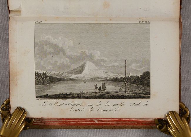
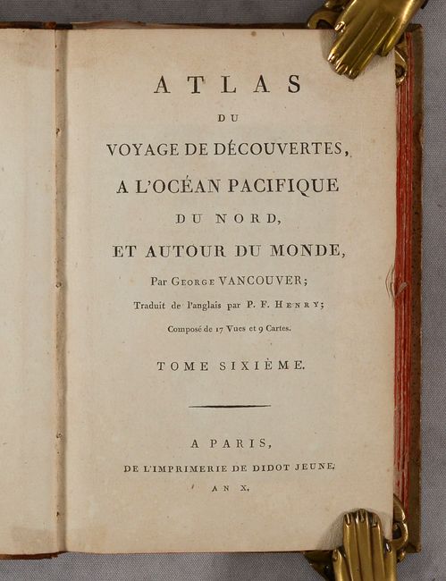
This edition contains 5 volumes of text and an unmatched atlas volume containing 18 single-page plates and 8 folding maps, which detail Vancouver's explorations along the western coast of North America from Baja California north to Cook Inlet and Kodiak Island, the northernmost point of Vancouver's journey. The full list of maps include:
A. Cote Nord-Ouest de l'Amerique Reconnue par le Cape. Vancouver Ie. Partie, (8.7 x 10.7"). Condition: B+
B. Cote Nord-Ouest de l'Amerique Reconnue par le Cape. Vancouver II. Partie, (8.8 x 10.8"). Condition: B+
C. Cote Nord-Ouest de l'Amerique Reconnue par le Cape. Vancouver 3e. Partie, (8.8 x 10.8"). Condition: B
D. Cote Nord-Ouest de l'Amerique Reconnue par le Cape. Vancouver IVe. Partie, (8.9 x 10.7"). Condition: B
E. Cote Nord-Ouest de l'Amerique Reconnue par le Capne. Vancouver Ve. Partie, (9.1 x 10.6"). Condition: B
F. Cote Nord-Ouest de l'Amerique Reconnue par le Capne. Vancouver VI. Partie, (10.7 x 8.3"). Condition: B+
G. Cote Nord-Ouest de l'Amerique Reconnue par le Cape. Vancouver VIIe. Partie, (8.6 x 10.6"). Condition: B+
H. Carte de la Partie de la Cote Nord-Ouest de l'Amerique Reconnue pendant les Etes de 1792, 1793 et 1794… (8.4 x 10.7”). Condition: B
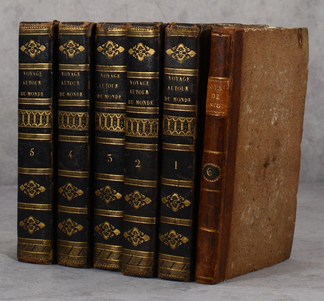
Text volumes are hardbound in quarter black leather over marbled boards with gilt title and decorations on the spines. Atlas volume is brown quarter leather over boards with gilt title label on spine.
References: Howes #V-23; Sabin #98442.
Condition: B+
The folding maps and plates are good to very good with some scattered foxing and faint offsetting. About half the map sheets have somewhat more prominent foxing (see description above for map grades). Text is very good with some minor toning and scattered foxing. First title page (of two) in volume 1 is chipped at top with tiny text loss. Covers have light shelf wear with bumped corners.