Subject: Atlases
Period: 1948 (published)
Publication:
Color: Printed Color
Size:
11.9 x 9.8 inches
30.2 x 24.9 cm
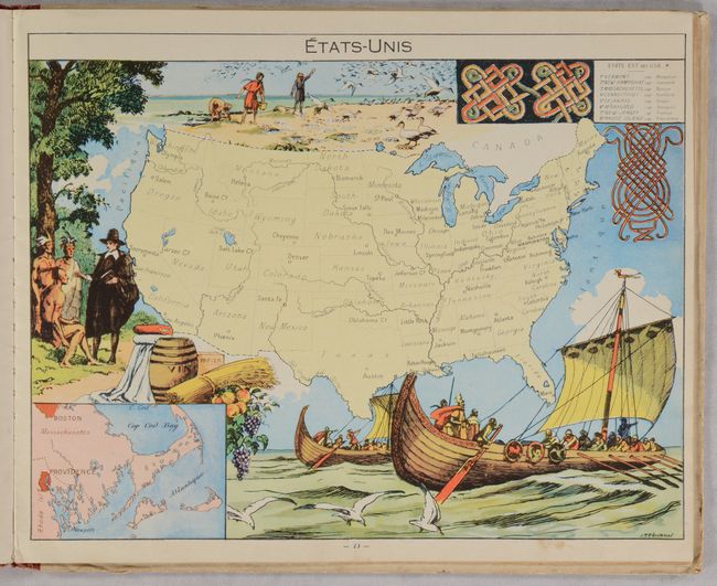
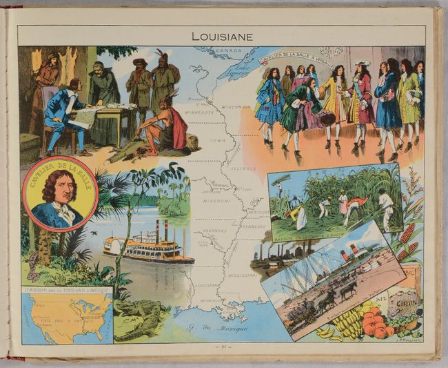
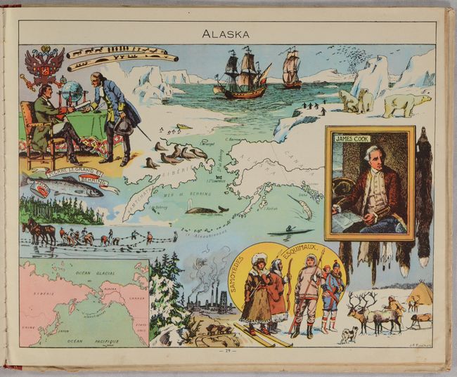
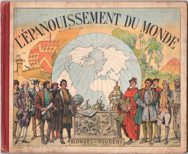
This is a pictorial atlas of the history of the world with illustrations by J. P. Pinchon and a forward by Andre Maurois from the French Academy. The atlas includes 23 regional maps that are superimposed with images relating to the history of that region. The maps are very simple outline maps with minimal place names so that the focus is on the images that are meant to "awaken the imagination of the reader." On the page facing each map is French text giving a brief summary of the region's historical events, climate, population, and natural resources. Included are 10 maps related to the Americas, 4 related to Asia, 3 of Africa, 3 of Europe, 1 of Australia, 1 of the Pacific, and 1 of the Polar regions. Published by Blondel la Rougery in Paris. Oblong Octavo; 48 pages; 23 maps with text, index and introduction. Hardbound in pictorial printed covers and red cloth spine.
References: Rumsey #7966.
Condition: B+
Maps are generally in very good condition with a few minor to light spots and some creased corners in the margins. Text has light scattered foxing in places. The covers are bumped and soiled.