Subject: Kenya
Period: 1972 (dated)
Publication:
Color: Printed Color
Size:
18.9 x 25.1 inches
48 x 63.8 cm
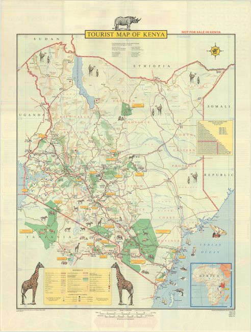
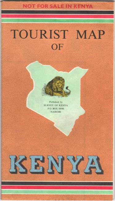
First published in 1968, only five years after Kenya won its independence from Britain, this handsome map showcases the attractions and amenities available to the tourist. A key identifies various roads, railways, rivers (permanent and seasonal), airports, boundaries, national parks and game reserves, forests, tribal names, outlying and special districts, lighthouses, hotels and restaurants, safari lodges, and more. Illustrations of wildlife are peppered throughout the map, and several vessels are depicted in the Indian Ocean. Two larger illustrations of giraffes flank the key, and a rhino sits atop the title. A table displays the distances between towns, and an inset at bottom right shows Kenya's location in the context of the entire continent. Verso features street maps of Nairobi and Mombasa, notes on places of interest, climate tables, and a pictorial guide to the animals of Kenya. Compiled, drawn, printed, and published by Survey of Kenya, and marked "Not for sale in Kenya" on front cover. Self-folding.
References:
Condition: A+
Issued folding.