Subject: Bacan Islands, Maluku Islands
Period: 1648 (circa)
Publication: Atlas Minor
Color: Hand Color
Size:
7.9 x 5.6 inches
20.1 x 14.2 cm
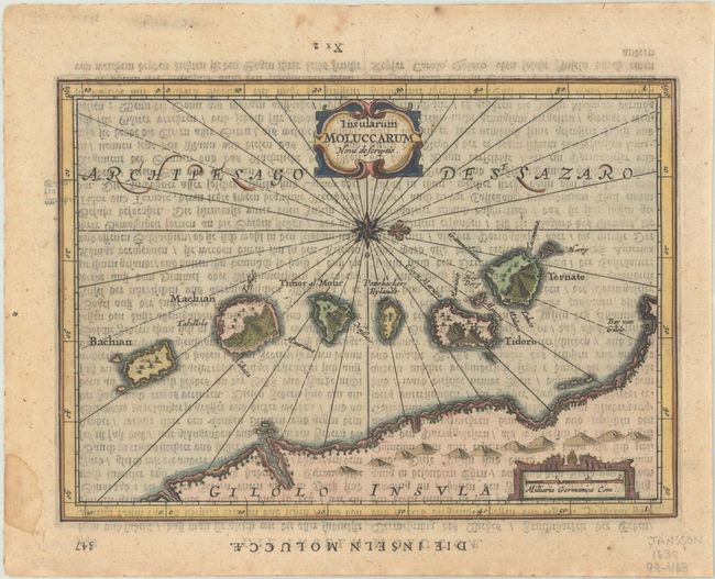
This is a reduced version of Jansson's map of the Spice Islands, the cornerstone of the Dutch trading empire in the East Indies throughout the 17th Century. Oriented with north to the right, the map shows the Bacan Islands from Bacan to Ternate, with a partial coastline of the island of Halmahera. The map is decorated with two strapwork cartouches and a compass rose. German text on verso, published between 1648-51.
References: Van der Krogt (Vol. III) #8560:352.1.
Condition: B+
A crisp impression with show through of German text on verso, minor toning, and a small dampstain in the blank margin. The map has been printed upside-down on the page.