Subject: Holy Land, Atlas
Period: 1819 (published)
Publication:
Color: Hand Color
Size:
4.4 x 5.4 inches
11.2 x 13.7 cm
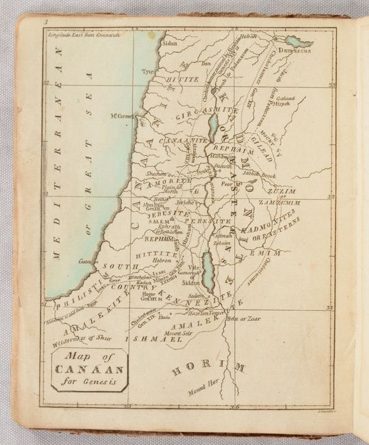
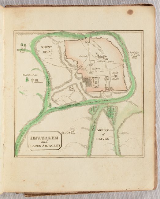
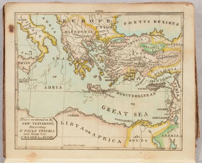
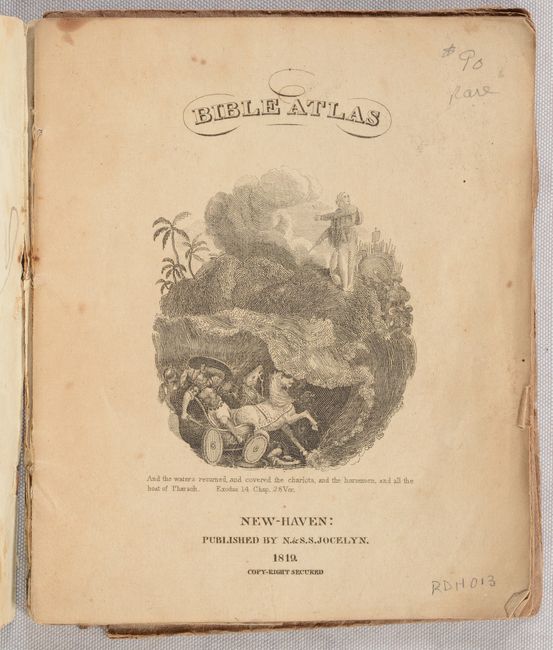
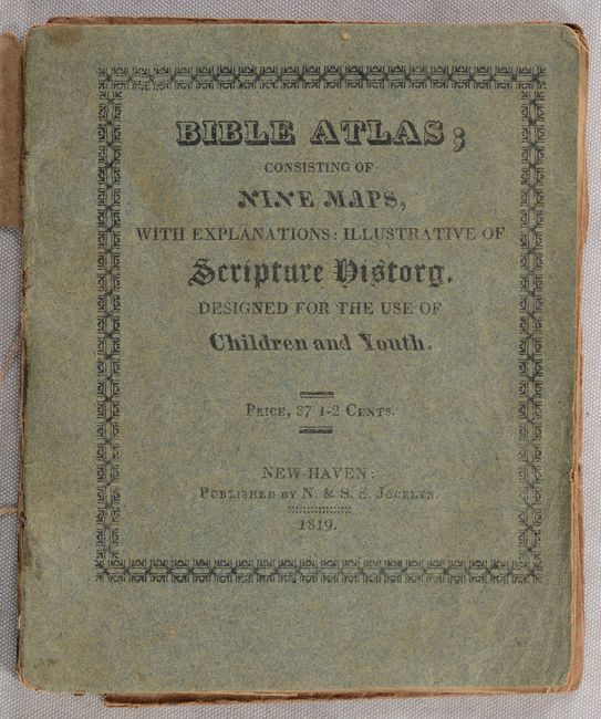
This rare small atlas is the earliest American bible atlas we have encountered. It was published by Nathaniel and Simeon Smith Jocelyn in New Haven, Connecticut with the intent "to compress into a small space, a body of Biblical Geography, and illustrations of Scripture History, at a price so low, as to enable all to whom the full understanding of the Scriptures is an object of interest, to purchase it for their children." It contains 9 single-page maps along with a two-page explanation providing additional context. The maps include:
Map of the World
Map of Canaan for Genesis
Journeyings of Israel in the Wilderness
Canaan for Judges
Canaan for Samuel
General Map of Canaan
Jerusalem and Places Adjacent
Israel, Shewing Those Places Which Are Mentioned by the Four Evangelists
Places Mentioned in the New Testament, Illustrating St. Pauls Travels and Voyages from Caesarea to Rome
Blue printed wrappers, engraved title page, maps, and text. We found no prior sales records for this 1819 edition and only a few institutional holdings.
References:
Condition: B+
The maps are very good with occasional light offsetting and a few rust spots mainly in the upper margins. Wrappers are lightly soiled. Paper dust jacket is split along the spine with front half detached and rear half nearly detached.