Catalog Archive
Auction 191, Lot 596

"Regni Hungariae Tabula Generalis...", Homann, Johann Baptist

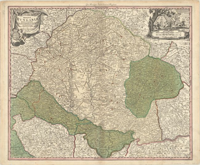
Subject: Hungary & Romania

Period: 1720 (circa)

Publication:

Color: Hand Color

Size:
22.4 x 18.7 inches
56.9 x 47.5 cm
Download High Resolution Image
(or just click on image to launch the Zoom viewer)

Fine map centered on Hungary and Romania with parts of Croatia, Bosnia, Serbia and Bulgaria. The map is densely engraved with topographical information, roads, political boundaries, fortifications and the locations of cities and villages. The title cartouche features a putto holding the Hungarian coat of arms, while the distance scale cartouche includes a vignette of three men on horseback riding through a village.

References:

Condition: B+

A nice impression with full contemporary color, minor toning along the centerfold, and a few small worm tracks also along the centerfold.

Estimate: $300 - $375

Sold for: $160

Closed on 2/8/2023

Archived