Catalog Archive
Auction 191, Lot 551

"Partie Septentrionale du Cercle de Haute Saxe qui Contient le Duche de Pomeranie et le Marquisat de Brandebourg", Robert de Vaugondy, Didier

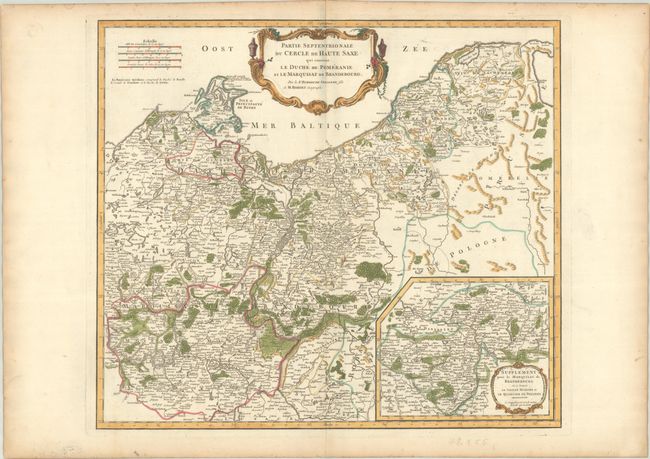
Subject: Northeastern Germany & Northwestern Poland

Period: 1760 (circa)

Publication: Atlas Universel

Color: Hand Color

Size:
21.6 x 19 inches
54.9 x 48.3 cm
Download High Resolution Image
(or just click on image to launch the Zoom viewer)

This handsome map depicts the historical region of Upper Saxony. This map stretches from Rostock on the coast of the Baltic to the historical Pomerelia region in northern Poland, down south to the Polish town of Sulechow near the Oder River. An inset, Supplement pour le Marquisat de Brandebourg ou se Trouve la Vieille Marche et le Quartier de Pregnitz, appears at bottom right and covers the Elbe where Lower Saxony and Brandenburg meet. The map is filled with details of political divisions, towns and cities, rivers, forest, and mountains.

References: Pedley #264.

Condition: A

A crisp impression on a bright sheet with a small birdhouse watermark, with contemporary outline color that has been augmented with modern coloring. There is marginal soiling and toning.

Estimate: $140 - $170

Sold for: $100

Closed on 2/8/2023

Archived