Catalog Archive
Auction 191, Lot 544

"Carte Exacte des Postes et Routes de l'Empire d'Allemagne Divisee en ses Cercles", Delisle/Covens & Mortier

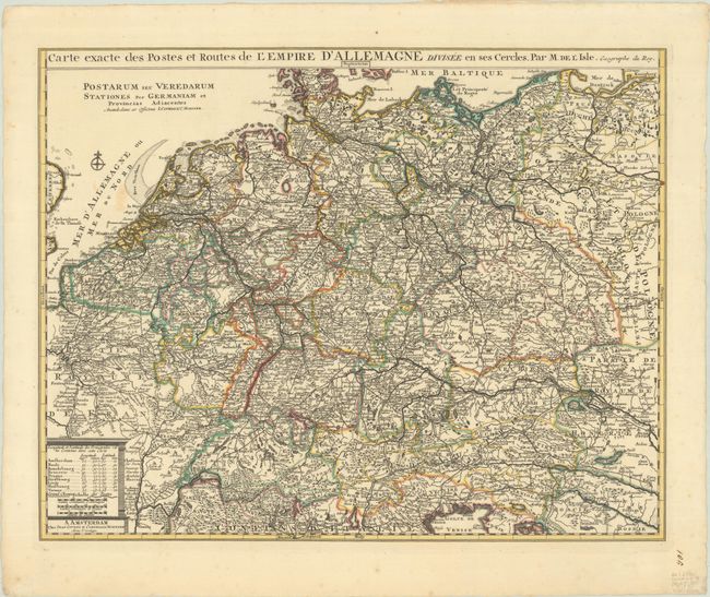
Subject: Central Europe, Germany

Period: 1730 (circa)

Publication:

Color: Hand Color

Size:
23.1 x 18.2 inches
58.7 x 46.2 cm
Download High Resolution Image
(or just click on image to launch the Zoom viewer)

This richly engraved and highly detailed map details the postal routes in the German Empire, extending from the Baltic Sea to the Gulf of Venice, as far west as Paris and as far east as Warsaw. Major roads, political boundaries, topography, and hundreds of tiny towns are also shown. The distance scale includes a table of the longitude and latitude of key cities.

References:

Condition: A

A sharp impression with contemporary outline color on a bright sheet with a couple of faint stains in the North Sea.

Estimate: $200 - $230

Sold for: $150

Closed on 2/8/2023

Archived