Catalog Archive
Auction 191, Lot 399

"Ste. Lucie d'Apres les Plans Leves par les Anglois lors qu'ils la Possedoient…", Le Rouge, George Louis
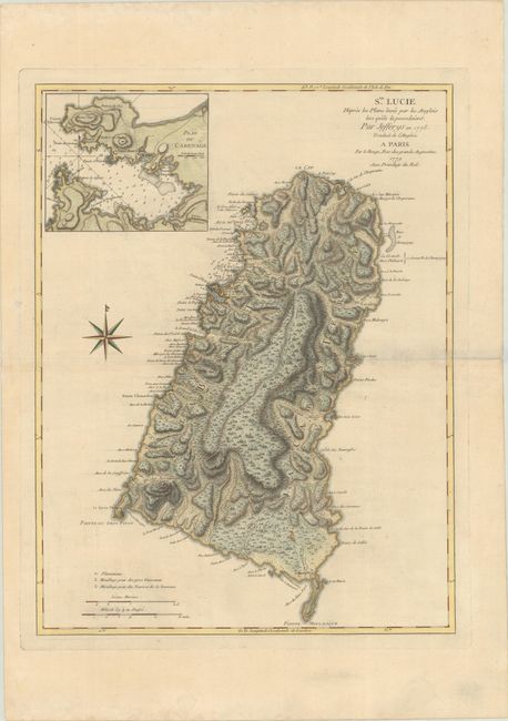
Subject: St. Lucia

Period: 1779 (dated)

Publication:

Color: Hand Color

Size:
17.9 x 23.4 inches
45.5 x 59.4 cm
Download High Resolution Image
(or just click on image to launch the Zoom viewer)

This uncommon chart is the French version of the 1775 map by Thomas Jeffreys. The high quality of the engraving provides the viewer a good perspective on the topography of the island. A legend at bottom identifies plantations and anchorages for large and small vessels. The inset Plan du Carenage shows soundings, anchorages and fortifications.

References: Shirley (BL Atlases) M.LER-3a #7.

Condition: B+

Printed on heavy, paper with wide margins and the watermark of a Maltese cross encircled in rosary beads. There are a few light spots and a couple of archivally repaired tears in blank margins.

Estimate: $400 - $475

Sold for: $300

Closed on 2/8/2023

Archived