Subject: Mount Rainier, Washington
Period: 1860-1923 (circa)
Publication:
Color:
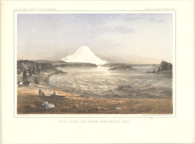
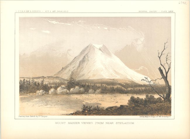
A. [Lot of 2] Puget Sound & Mt. Rainier From Whitby's Island and Mount Rainier Viewed from Near Steilacoom, by John Stanley, circa 1860, hand color (9.4 x 6.2"). Two attractive plates from the twelfth and final volume of the Pacific Railroad Surveys concerning the practicality of a northern route. The first view is taken from Whitbey Island looking south to the snow-covered Mt. Rainer. The second is a much closer view showing its volcanic crater at top. Condition: The first view has a very faint dampstain confined to the left blank margin, otherwise fine.
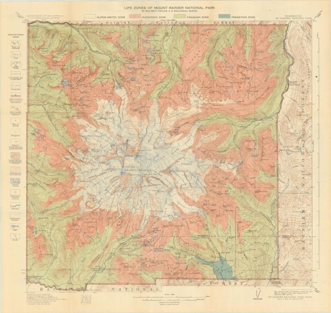
B. Life Zones of Mount Rainier National Park, by Walter P. Taylor, dated 1923, printed color (20.1 x 18.7"). This highly detailed map is color-coded to show the various "life zones" around Mount Rainer including the Alpine-Arctic, Hudsonian, Canadian, and Transition zones. This concept was introduced in 1889 by C. Hart Merriam and was intended to classify regions with similar plants and animals. A legend flanking the map at left reveal additional details including roads, trails, mines, glaciers, streams and more. First issued in 1915 and updated here to 1923. Condition: Issued folding with a hint of pleasant light toning.
References:
Condition: A
See description above.